
Route 66 Road Trip: Chicago to Santa Monica
Driving Route 66 in its centennial year: what survives of the road, 14 stops from Chicago to Santa Monica, how many days to allow and when to go.
Route 66 was struck off the US highway system in 1985, and no single road carries the number today - that’s the whole puzzle. What survives is a chain of historic segments, frontage roads and old main streets running roughly 2,400 miles from Chicago to Santa Monica, well signed in some states and invisible in others. You can drive it, and thousands do, but you’ll need a turn-by-turn guide and about two weeks. This is also the centennial year: the route was approved on 11 November 1926, so 2026 brings a hundred-year party across all eight states.
The interstates that killed it are the reason it’s still drivable. I-55 took the Chicago to St. Louis leg, I-44 swallowed the diagonal to Oklahoma City, and I-40 covered everything west; the last original section was bypassed at Williams, Arizona in October 1984. Because the new roads were built alongside rather than on top, hundreds of miles of the old asphalt simply sat there and became a museum you can drive. More than 250 buildings, bridges and road segments along it are on the National Register, and the National Park Service has run a preservation program since 1999 that has cost-shared over 170 restoration projects, which is why so many neon signs work again.
How to actually follow it
Don’t expect a green sign that says Route 66 all the way to California. States mark it differently, sections are numbered as state highways or county roads, and there were several alignments in different eras, so the 1926 road and the 1950s road can run miles apart. Everyone who does this trip properly carries a mile-by-mile guidebook or a dedicated app, and checks it at every town - you won’t wing this from memory. Miss a turn and you’ll be back on the interstate for 40 miles before you notice.
Drive east to west, Chicago to Santa Monica. That’s the direction the road was built for, the direction the Dust Bowl migration went, and it keeps the low sun behind you for most of the afternoon rather than in your eyes. It also ends at the ocean, which beats ending in a Chicago parking garage. The first day is all Illinois prairie, the middle is Texas panhandle wind, and the last real driving day is Arizona high desert.
Two weeks is the honest answer for the full run. Ten days works if you skip the Santa Fe loop and drive longer days. Anything under a week means driving the interstates and dipping onto the old road for photographs, which is a legitimate trip but a different one. The single biggest mistake is booking a flight home from Los Angeles on day eight: you’ll spend the whole trip watching the clock instead of the road.
Illinois and Missouri: corn dogs, an arch and the town that named the road
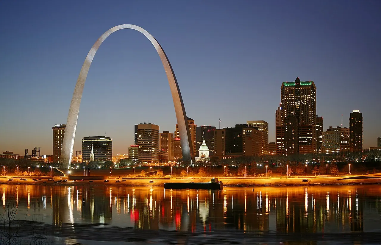
Out of Chicago the road runs southwest through farm towns with restored gas stations and painted barn signs. Springfield, Illinois is the first proper stop: Lincoln’s home is preserved as a national historic site with free admission, and the Cozy Dog Drive In on the old alignment claims the corn dog. St. Louis is worth a full afternoon - details live in our Missouri travel guide. You’ll want to walk the Old Chain of Rocks Bridge, which carried Route 66 over the Mississippi and now carries only pedestrians and bikes with a famous kink in the middle, then ride to the top of the 630-foot Gateway Arch.
Springfield, Missouri looks like an ordinary midwestern city and is where the road got its name. On 30 April 1926 Missouri highway chief engineer A.H. Piepmeier and Oklahoma highway chairman Cyrus Avery sent a telegram from the Colonial Hotel accepting the number 66 for the new Chicago to Los Angeles highway, and the plaza downtown marks the spot. After that the route clips 13 miles of Kansas through Galena and Baxter Springs, which is just enough for a state line photo and a coffee - don’t skip the short Kansas slice if you’re collecting states.
Oklahoma and Texas: the best-preserved stretch
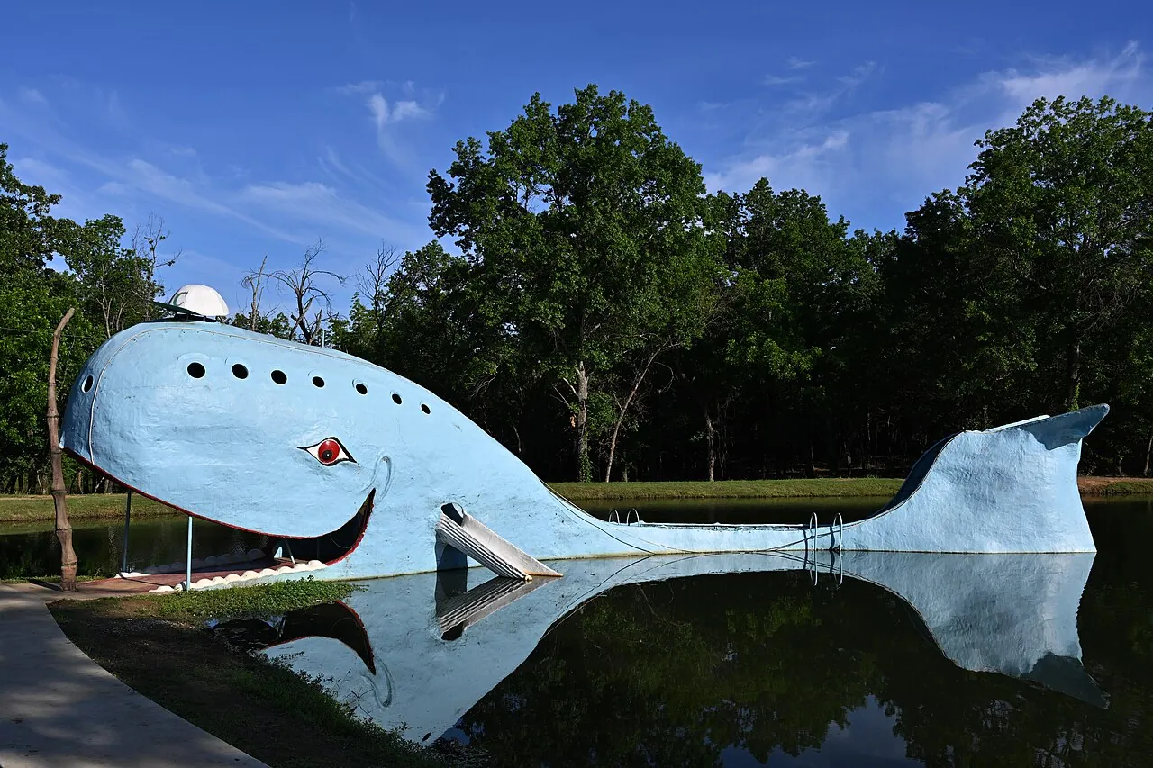
Oklahoma has more surviving Route 66 mileage than any other state, and it shows - our Oklahoma travel guide is built around that claim. Tulsa was the home of Cyrus Avery, the highway commissioner who pushed the route through his own city and is remembered with a plaza on the old bridge. Twenty minutes east at Catoosa, the Blue Whale, an enormous concrete whale built as an anniversary present, sits in a swimming hole and is exactly the sort of thing you drive this road to find. Between Tulsa and Oklahoma City, stop at the 1898 Round Barn in Arcadia and the 66-foot soda bottle outside Pops - you’ll photograph both.
Oklahoma City interrupts the nostalgia, and it should. The Oklahoma City National Memorial marks the 1995 bombing of the Murrah Federal Building with 168 empty chairs, arranged in nine rows for the nine floors. Give it an hour, and expect to be quiet afterward - don’t rush this stop.
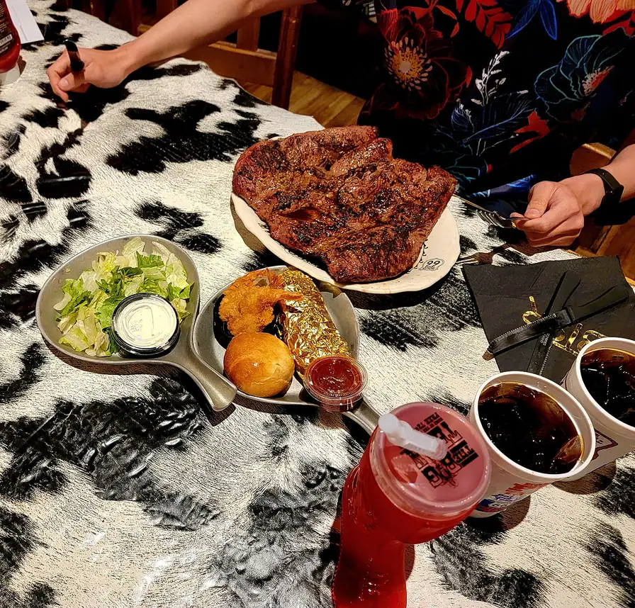
The Texas panhandle is 180 miles of grass, grain elevators and wind. Amarillo holds the two set pieces: Cadillac Ranch, ten Cadillacs buried nose-down in a field since 1974 and repainted by visitors every day, and the Big Texan Steak Ranch, where the 72-ounce steak is free if you finish it inside an hour. Cadillac Ranch is free and open at any hour, and the etiquette is simple: bring your own spray can, and don’t leave the empty in the field. West of Amarillo, Adrian marks the midpoint, with a sign claiming 1,139 miles in each direction.
New Mexico: neon, and a decision about Santa Fe
Tucumcari is where the trip turns from interesting to memorable - start with the New Mexico travel guide if you’re splitting nights across the state. A long strip of the old highway is lined with restored motel neon, and the Blue Swallow, built in 1939, still rents rooms with a garage beside each door. Book it weeks ahead in spring and fall; it fills. The National Park Service preservation program paid part of the cost of relighting that sign, which tells you how these places have survived.
West of Santa Rosa the road splits by era, and you have to choose. The original 1926 alignment swings north through Santa Fe, a 1610 adobe capital with the best food on the route - see things to do in Santa Fe - then drops south to Albuquerque. The 1937 realignment cuts straight west and saves the better part of a day. Drive the old loop if you have the time; Santa Fe isn’t a detour you’ll regret. In Albuquerque the road becomes Central Avenue and runs 18 miles across the city past the 1927 KiMo Theatre and a lot of surviving motel signs. If your drive lands in the first half of October, every one of those motel signs is already spoken for: the Albuquerque Balloon Fiesta takes the city for its run, and you’ll either plan the week around it or push straight through to Flagstaff.
One thing to know before you order dinner in New Mexico: the state question, made official in 1996, is “Red or Green?” It refers to chile, it comes with almost everything, and the correct answer when you can’t choose is “Christmas”, which gets you both.
Arizona: the best driving on the whole road
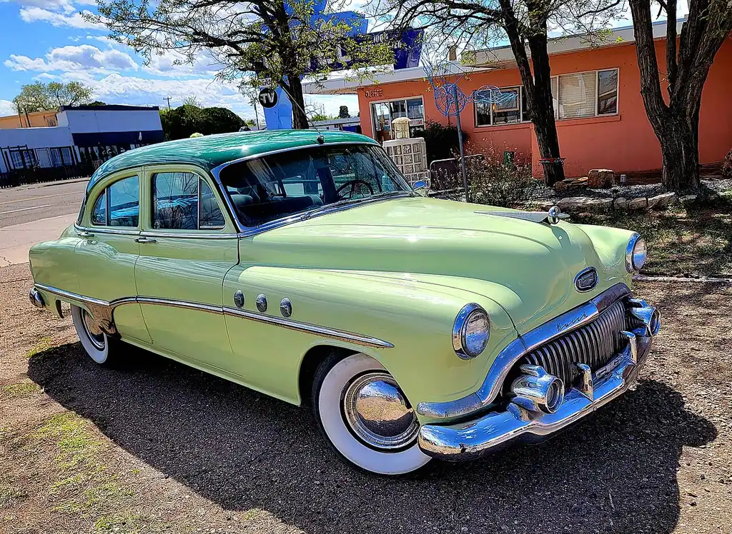
Arizona is where the trip peaks. Petrified Forest National Park is the only unit of the national park system with a section of Route 66 running through it, and the alignment is marked by a line of old telephone poles and a rusted 1932 Studebaker at a pullout. Holbrook has the Wigwam Motel and its concrete tepees. Winslow has a corner. Flagstaff sits in ponderosa pine at nearly 7,000 feet and makes the obvious base for a day at Grand Canyon National Park, about 90 minutes north. Sedona and Oak Creek Canyon are a similar distance south if you want a second day off the road.
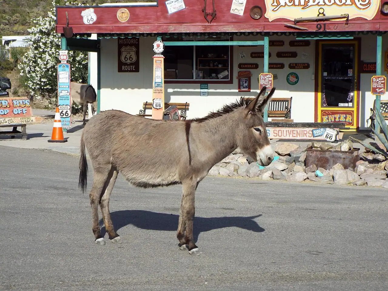
West of Flagstaff comes the stretch that saved the whole thing. Seligman is where barber Angel Delgadillo, whose town was cut off when I-40 opened, campaigned until Arizona designated the Seligman to Kingman road as Historic Route 66 in 1987; the state now has the longest uninterrupted surviving section, about 160 miles from Seligman to Topock. Then the road climbs over Sitgreaves Pass to Oatman on switchbacks with big drops and no guardrail. It’s paved and any normal car handles it, but vehicles over 40 feet aren’t allowed, so RV drivers take the bypass. Oatman itself is a gold-mining town where wild burros wander the main street looking for carrots.
California: the Mojave and the finish
The California leg is the hardest and the emptiest. From Needles the road crosses the Mojave through Amboy and Ludlow, where the gaps between working gas stations are long and the summer heat is serious, so fill the tank whenever you can and carry water. Barstow marks the end of the desert: the Route 66 Mother Road Museum is inside the Casa del Desierto, a restored Harvey House depot beside the railroad.
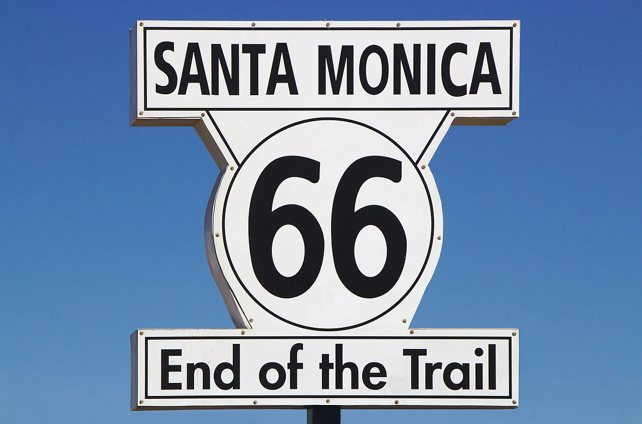
Then it’s down through San Bernardino and Pasadena into Los Angeles traffic, which is a strange way to end a road trip through empty country. The finish line is the Santa Monica Pier, where an End of the Trail sign went up in 2009 for exactly this purpose. Purists point out that the historic terminus is a mile inland at Lincoln and Olympic Boulevards, marked by nothing much. Take the photo at the pier anyway. If you’re carrying on up the coast, the Pacific Coast Highway drive to San Francisco starts from the same beach and is the natural sequel to this one.
When to go
April to early June and September to October are the two good windows. Summer bakes the Texas panhandle, the Mojave and Needles, and spring storms across the plains can be violent. Winter closes nothing outright but brings snow to Flagstaff and ice to Oklahoma, and many of the small family motels and cafes cut their hours. The centennial adds a wrinkle for 2026: expect events, convoys and full motels around 11 November and through the summer in every one of the eight states, so book the famous places early or plan to sleep at chain hotels off the interstate.
What it costs and what to drive
Fuel is the one line you can calculate. The trip is about 2,448 miles by the traditional count, and a car doing 25 mpg burns roughly 98 gallons; at the national average of $4.09 a gallon in late July 2026 that’s around $400 one way, before detours. Small-town motels along the route are far cheaper than the cities at either end, so a realistic floor for two weeks, sleeping in modest motels and eating in the diners and roadside classics the road is famous for, is about $1,500 per person before the car.
The car itself matters less than people think. Any rental handles the whole route, and the classic-car version is a rental-industry fantasy for most travelers. What does matter is the one-way drop fee: picking up in Chicago and returning in Los Angeles costs extra with every company, sometimes a lot, so compare that line before you compare daily rates - our guide to renting a car in the USA covers how those fees are quoted. Book an open-jaw flight into Chicago and out of LAX rather than a return, and check our US road trip routes for what to add on either end.
Read also
- The big detour: Grand Canyon National Park
- More driving: US road trip routes and US states
- Where the road ends: US cities
Route day by day
- Days on the road
- 14
- Distance
- ≈3940 km
- Budget from
- 1500 USD per person, whole trip
- Best season
- April, May, June, September, October
The route at a glance
-
Chicago, Illinois
Route startstop ≈120 min
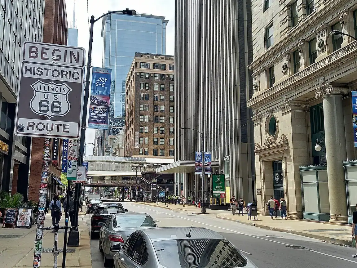
Mile zero. The Begin Route 66 sign stands on Adams Street at Michigan Avenue, across from the Art Institute; breakfast at Lou Mitchell's, open since 1923, is the traditional first stop.
Photo: AlphaBeta135 · CC BY 4.0 · Wikimedia Commons ( source) -
Springfield, Illinois
320 km from the startstop ≈120 min
Lincoln's hometown and the birthplace of the corn dog. The Cozy Dog Drive In still sells them on the old alignment; Lincoln Home National Historic Site is free.
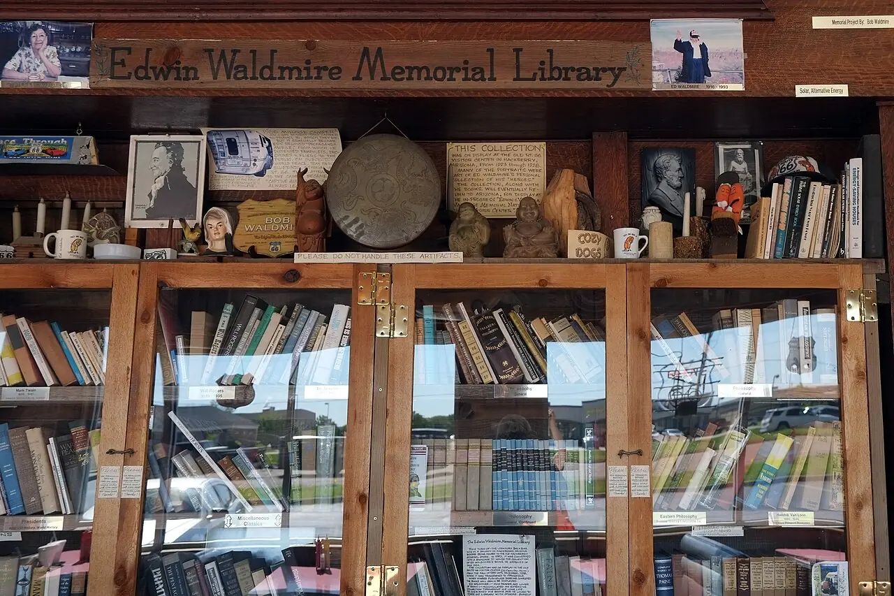
Photo: Gorup de Besanez · CC BY-SA 4.0 · Wikimedia Commons ( source) -
St. Louis, Missouri
480 km from the startstop ≈180 min
Cross the Mississippi on foot at the Old Chain of Rocks Bridge, then the 630-foot Gateway Arch and a frozen custard concrete at Ted Drewes.
Photo: Daniel Schwen · CC BY-SA 4.0 · Wikimedia Commons ( source) -
Springfield, Missouri
835 km from the startstop ≈90 min
The birthplace of the name: the telegram accepting the number 66 was sent from here on 30 April 1926. Route 66 Steak n Shake is a 1962 drive-in still working the road.
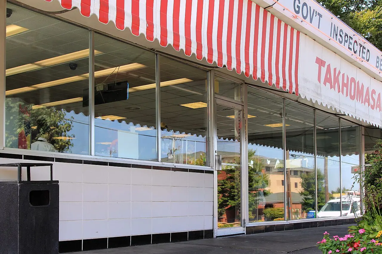
Photo: Larry D. Moore · CC BY 4.0 · Wikimedia Commons ( source) -
Tulsa, Oklahoma
1095 km from the startstop ≈120 min
Cyrus Avery, the man who fought for the route, was a Tulsan; his bridge and plaza are here. The Blue Whale of Catoosa sits 20 minutes east.
Photo: G. Edward Johnson · CC BY 4.0 · Wikimedia Commons ( source) -
Oklahoma City, Oklahoma
1270 km from the startstop ≈120 min
The Oklahoma City National Memorial and its 168 empty chairs. On the way in, the 1898 Round Barn and the 66-foot soda bottle at Arcadia.
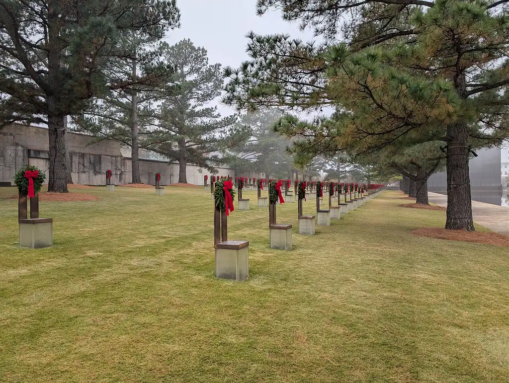
Photo: G. Edward Johnson · CC BY 4.0 · Wikimedia Commons ( source) -
Amarillo, Texas
1690 km from the startstop ≈150 min
Cadillac Ranch (free, open all hours, bring a can of spray paint) and the Big Texan Steak Ranch with its 72-ounce steak challenge.
Photo: Cullen328 (Jim Heaphy) · CC BY-SA 4.0 · Wikimedia Commons ( source) -
Tucumcari, New Mexico
1875 km from the startstop ≈60 min
The best night of the trip. A mile of restored neon on the old main street, headed by the Blue Swallow Motel, built in 1939 and still taking guests.
Photo: Cullen328 (Jim Heaphy) · CC BY-SA 4.0 · Wikimedia Commons ( source) -
Santa Fe, New Mexico
2075 km from the startstop ≈180 min
On the pre-1937 alignment only, which is reason enough to drive it. Adobe plaza, the Palace of the Governors from 1610, and red or green chile on everything.
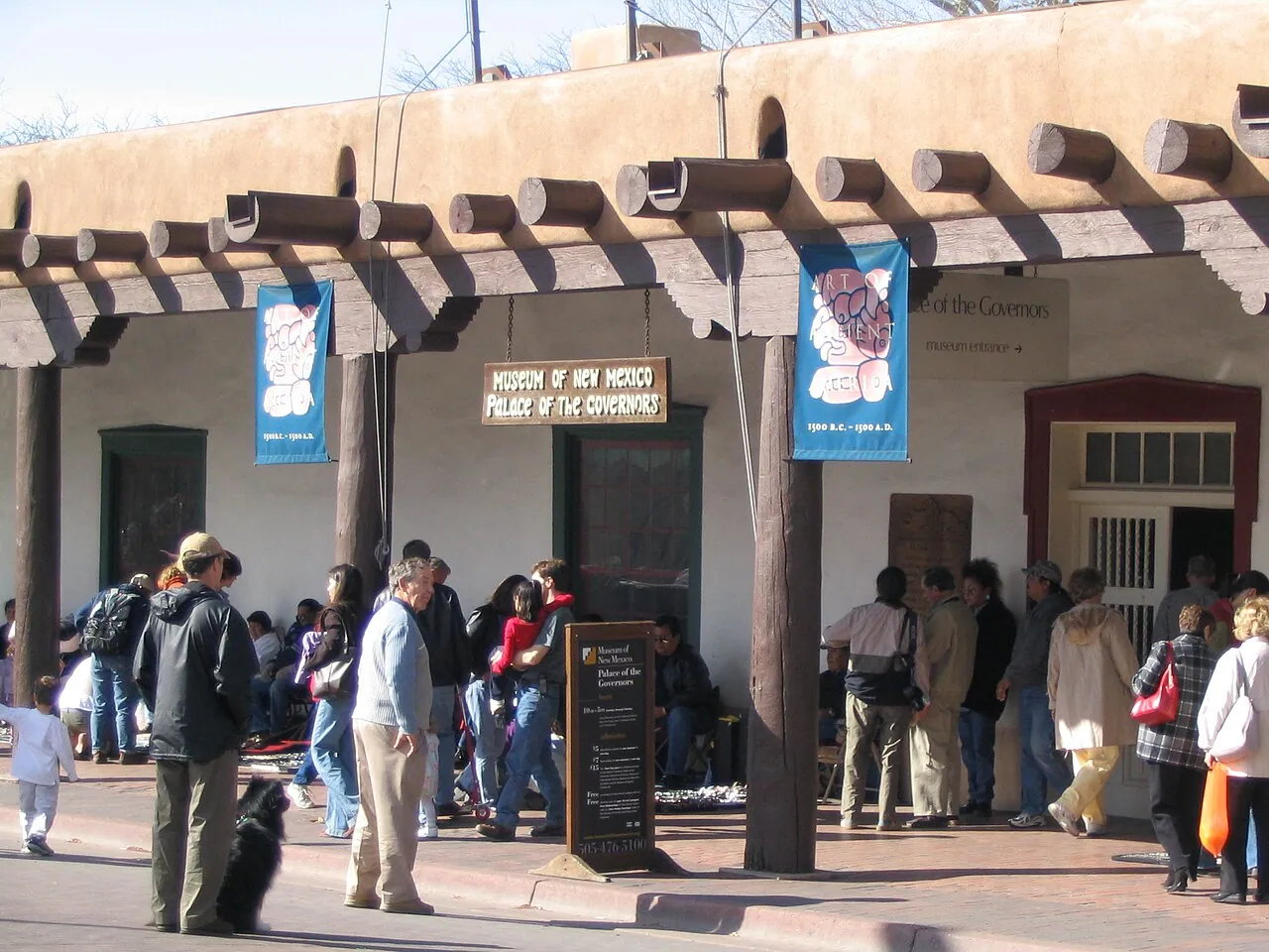
Photo: Ken Lund · CC BY-SA 2.0 · Wikimedia Commons ( source) -
Albuquerque, New Mexico
2175 km from the startstop ≈120 min
Route 66 is Central Avenue here, 18 miles of it, with the 1927 KiMo Theatre and a long run of surviving motel neon through Nob Hill.
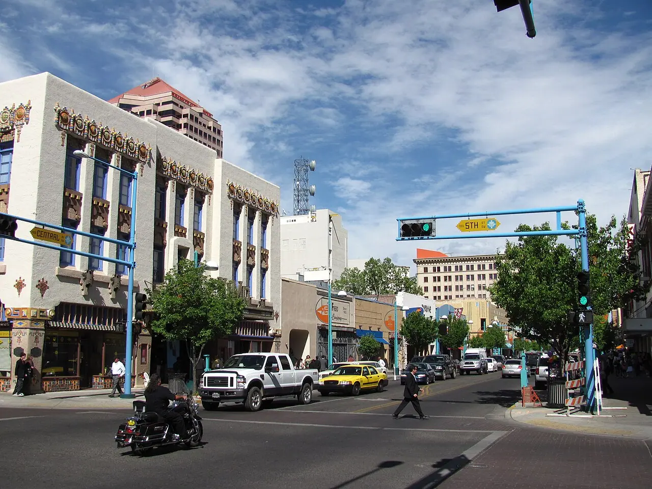
Photo: John Phelan · CC BY 3.0 · Wikimedia Commons ( source) -
Flagstaff, Arizona
2705 km from the startstop ≈240 min
Ponderosa pine at nearly 7,000 feet, and the base for the Grand Canyon South Rim, about 90 minutes north. Petrified Forest and Winslow come first on the way in.
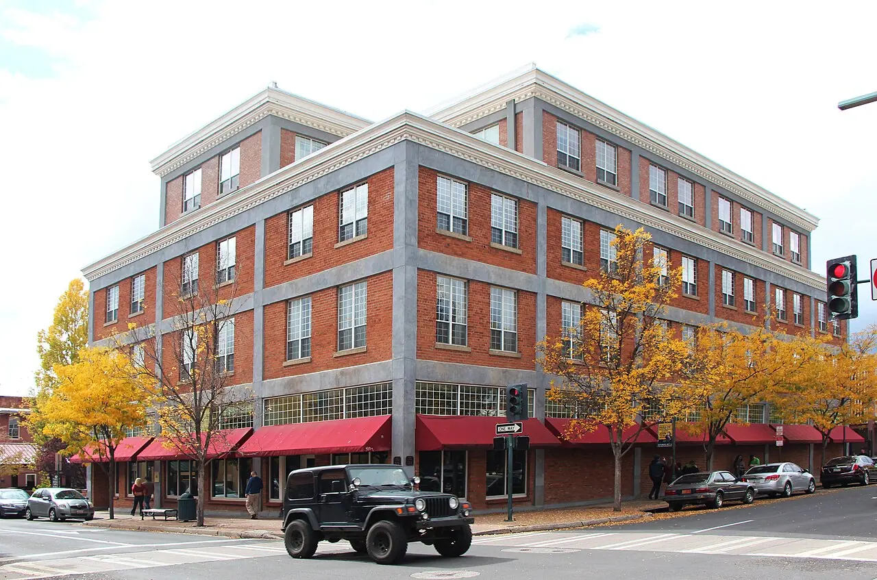
Photo: Steven C. Price · CC BY-SA 4.0 · Wikimedia Commons ( source) -
Oatman, Arizona
3060 km from the startstop ≈90 min
Reached over Sitgreaves Pass on switchbacks with no guardrail. Wild burros work the main street for carrots; vehicles over 40 feet are not allowed over the pass.
Photo: Marine 69-71 · CC BY-SA 4.0 · Wikimedia Commons ( source) -
Barstow, California
3460 km from the startstop ≈90 min
Out of the Mojave at last. The Route 66 Mother Road Museum sits inside the Casa del Desierto, a restored Harvey House railroad depot.
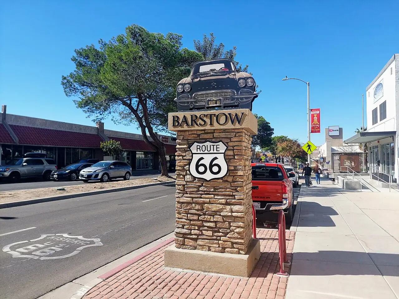
Photo: Exprimidor · CC BY-SA 4.0 · Wikimedia Commons ( source) -
Santa Monica, California
3940 km from the startstop ≈0 min
The End of the Trail sign on the pier, put up in 2009. The historic terminus is less photogenic: Lincoln and Olympic Boulevards, a mile inland.
Photo: John Salatas · CC BY-SA 4.0 · Wikimedia Commons ( source)
Route map
The map with stops loads on click - to keep the page lightweight.
The map didn’t load. Check your connection and refresh the page.