
Arizona Travel Guide
Arizona for first-timers: Grand Canyon, Sedona, Monument Valley, Antelope Canyon, the tribal-land permit rules nobody explains, and beating the heat.
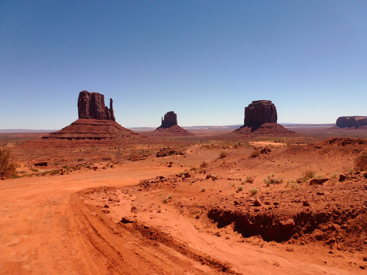
Arizona changes completely as you drive north to south. Up on the Colorado Plateau above the Mogollon Rim, at 5,000 to 7,000 feet, you get pine forest, red rock, canyons and snow in winter; drop into the Sonoran Desert below and it’s all saguaro cactus and summer afternoons above 110F. Phoenix and the Grand Canyon share a license plate and almost nothing else.
Most first trips run north. Fly into Phoenix Sky Harbor or Las Vegas, drive a loop through Sedona, Flagstaff, the Grand Canyon, Page and Monument Valley, and come back down. That loop is around a week, and the thing that trips people up is not distance. It’s permissions.
The permission layer nobody explains
American public land is not one system, and Arizona is where that becomes expensive. The Grand Canyon, Saguaro and Petrified Forest are National Park Service land. Sedona’s red rock trailheads are US Forest Service. Monument Valley and Antelope Canyon are Navajo Nation land, which is a sovereign nation, not a federal park at all.
That last distinction is the one that costs money and ruins plans. Your America the Beautiful pass does nothing on tribal land. Neither does the National Park Service reservation system. Navajo Nation parks charge their own fees, keep their own hours, and in the case of Antelope Canyon, do not let you in without a Navajo guide. Not “recommend a guide” - mandatory, at Upper Antelope, Lower Antelope, Antelope Canyon X and Cardiac Canyon alike, with a $15 per-person park permit on top of the tour fare, built into the price by some operators and added at checkout by others. Book the tour weeks ahead in high season: operators that take walk-ins sell them only from whatever seats are left on the day, and there is no self-guided version.
The second surprise arrived on 1 January 2026. Non-US residents aged 16 and over now pay a $100 nonresident fee on top of the standard entrance charge at eleven national parks, and the Grand Canyon is on that list. For a British or Australian couple that’s $200 plus the $35 vehicle fee for one canyon visit. If your itinerary includes two or more of the eleven - the Grand Canyon plus Zion or Bryce, say - the $250 America the Beautiful Non-Resident Annual Pass stops being a luxury and starts being arithmetic. Children 15 and under are exempt either way.
Saguaro and Petrified Forest, both in Arizona, are not on the list. They charge $25 per vehicle to everyone, resident or not.
The Grand Canyon, briefly
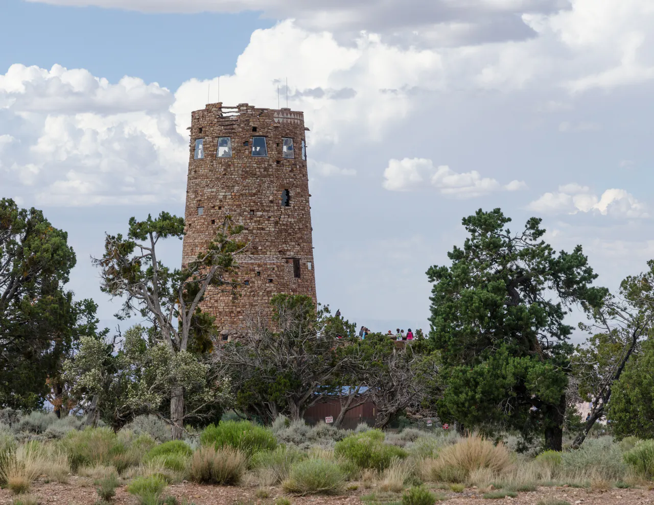
You already know you’re going. What matters for planning is which rim and when. The South Rim is open 24 hours a year-round and has the free shuttle network and the Rim Trail, but its in-park lodges have been closed to overnight guests since August 31, 2026 under Stage 4 water restrictions, so for now you sleep outside the park, in Tusayan, Williams or Flagstaff. The North Rim is a thousand feet higher, far quieter, and closed to all vehicles from 1 December to 14 May; after the 2025 Dragon Bravo Fire it reopened in May 2026 mostly for day use, with no overnight lodging in the 2026 season. Rim to rim is 212 miles by road, about four and a half hours, so treat them as separate trips.
Our full Grand Canyon National Park guide covers shuttles, the safe limits on hiking below the rim and where to sleep. One number from it is worth repeating here: the park’s own advice is not to hike from rim to river and back in a single day, especially May through September. People ignore that every summer and some of them do not walk back out.
Page: Horseshoe Bend and the slot canyons
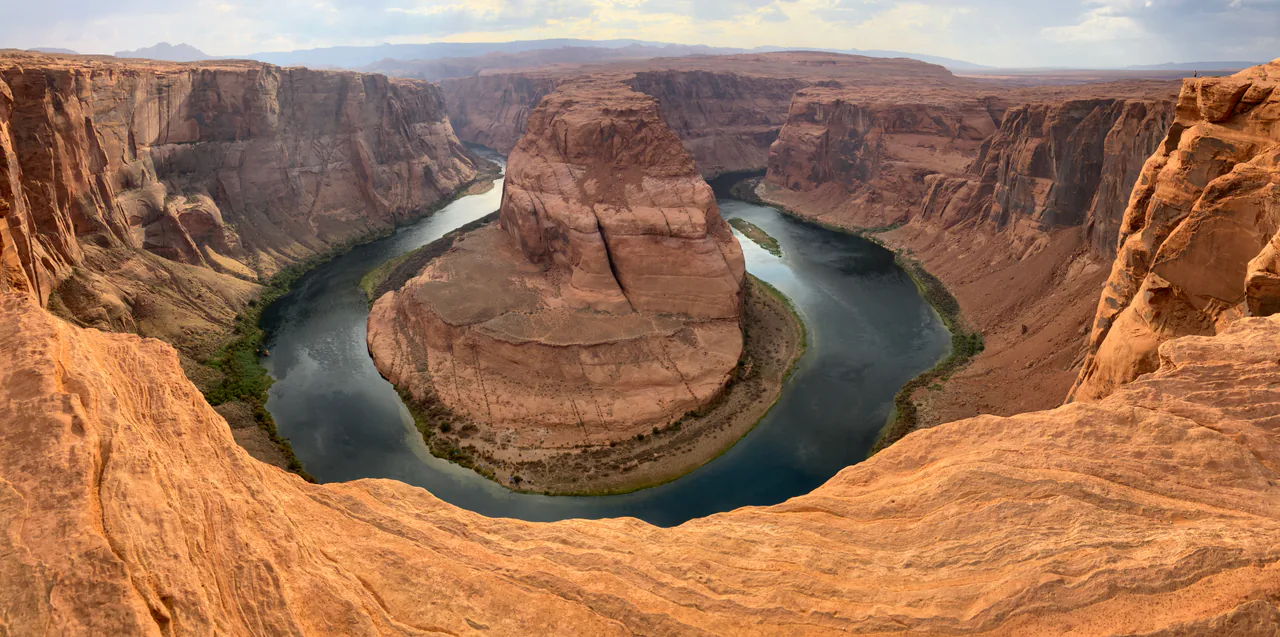
Page is a small town built for the Glen Canyon Dam and now living off two photographs. Horseshoe Bend is the entrenched meander of the Colorado River you’ve seen a thousand times; it’s about 1.5 miles round trip from the lot on soft sand, with a $10 parking fee that goes to the City of Page rather than the Park Service. There is no railing along most of the rim. Take that seriously with children.
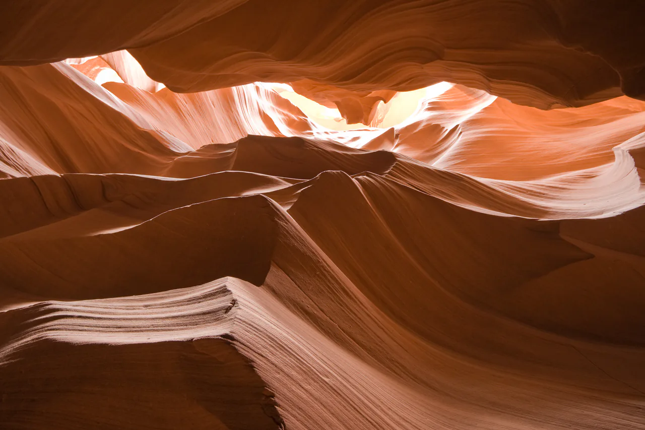
The slot canyons are the other draw. Upper Antelope is the wide one with the famous light beams around midday in summer, though its tours now end with a climb and stairs outside the canyon; Lower Antelope is narrower, involves ladders and generally costs less. Both need that guide and that permit. Photography and filming permits are not being issued for either at the moment because of visitor numbers, so plan on a handheld sightseeing tour; the tripod tours we found on sale are at Canyon X and Cardiac Canyon, plus one after-dark photography tour in Upper Antelope. Our guide to Antelope Canyon tours compares all four canyons, shows what eight operators charge and what the permit and fees add, and explains how to pay the tribal permit only once.
Monument Valley
Monument Valley is about 130 miles east of Page on the Arizona-Utah line, and it’s the landscape most people actually picture when they think “American West”. It’s Navajo tribal land, not a national park: $15 per vehicle for the 17-mile Valley Drive, and the road itself is rough dirt with deep sand in places, so motorcycles and RVs aren’t allowed on it at all. Backcountry landmarks like Ear of the Wind need an authorized Navajo guide regardless of what you paid at the gate. Our Monument Valley tours guide breaks down the fees, the road conditions and when a guide is worth booking. Hiring a guide is also, frankly, what turns a scenic drive into something you’ll remember: the interpretation is the point.
Sedona
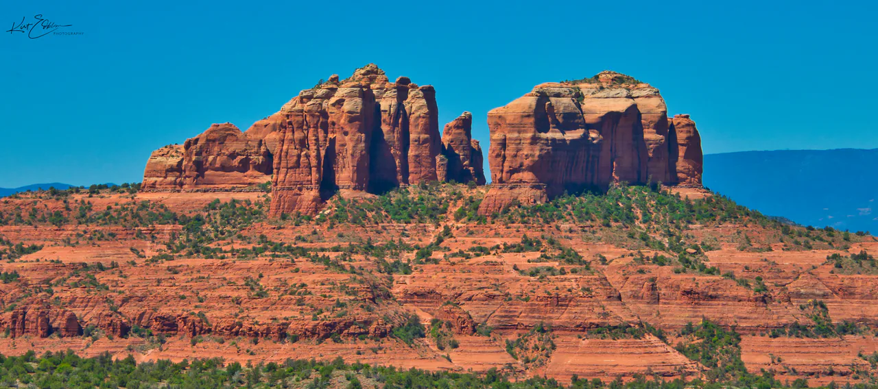
Sedona sits two hours north of Phoenix in a bowl of red sandstone, and it has become popular enough to need traffic management. The Forest Service charges a Red Rock Pass at 19 day-use sites: $5 a day, $15 a week, $20 a year, with no pass needed for a stop of 15 minutes or less to take a photo.
The better news is the free Sedona Shuttle. It runs Thursday to Sunday year-round (seven days a week during the spring peak, 26 February to 26 April 2026), needs no reservation and no Red Rock Pass, and serves the trailheads that fill first. While it operates, the parking lots at Cathedral Rock and Soldier Pass are closed to private vehicles altogether. Park free at North SR-179 or Posse Grounds and ride in. Turning up at 10 a.m. on a Saturday hoping to park at Cathedral Rock is the single most common Sedona mistake.
Phoenix, Scottsdale and the desert south
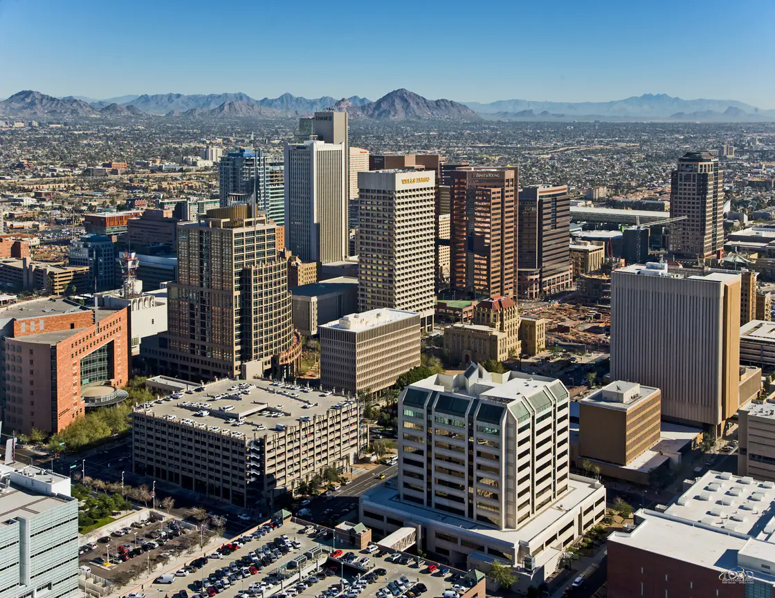
Phoenix is where most flights land and where most itineraries spend the least time, which is a fair reflection of what it offers a short-stay visitor. Scottsdale is the polished half: resorts, spas, golf, a walkable Old Town with galleries and bars. Phoenix proper has the Desert Botanical Garden and the Heard Museum, which is the best introduction to the Southwest’s Native cultures you’ll find anywhere and worth two hours before you drive north. If the nights are in the valley, where to stay in Phoenix is the downtown vs Scottsdale vs Tempe call.
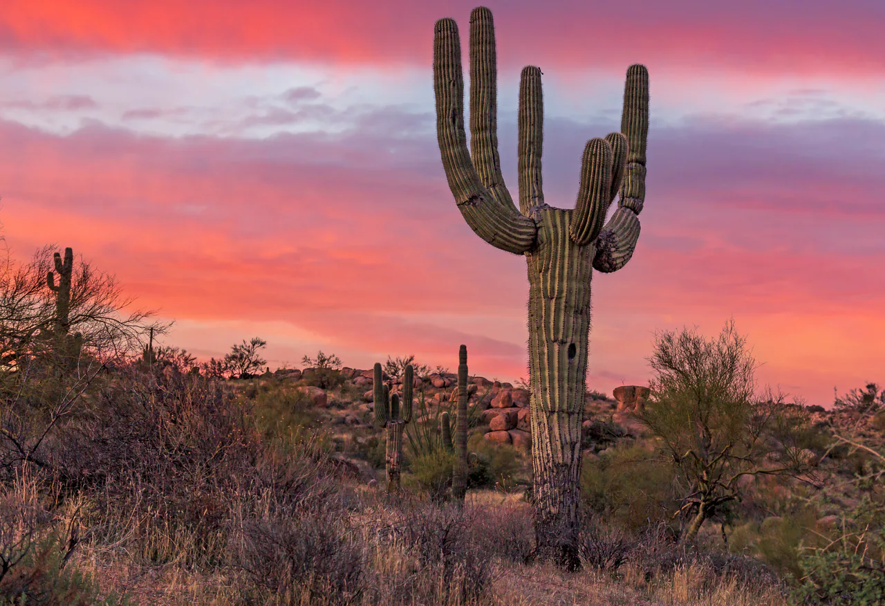
Further south, Tucson is the more likeable city and the gateway to Saguaro National Park, split into two districts either side of town ($25 per vehicle, good for both, seven days). If you want the saguaro forest you’re picturing, this is where it is; the Grand Canyon has none.
Heat, and why it decides your dates
In 2024 Phoenix spent 113 consecutive days at or above 100F, smashing a record of 76 days that had stood since 1993, and logged 70 days at or above 110F - the most since records began in 1896. This is not a colorful statistic. It’s the reason Arizona itineraries are built around months.
March, April, October and November are the good ones: warm in the desert, comfortable up north, and most things open, though in fall 2026 the Grand Canyon’s in-park lodges are closed to overnight guests. December to February is peak season in Phoenix and Scottsdale, when the resorts fill and prices climb, while Flagstaff gets snow and the Grand Canyon’s North Rim is shut. June through August is genuinely dangerous in the low desert; if you must come, do the north, where 7,000 feet of elevation buys you a livable afternoon, and understand that July and August also bring monsoon thunderstorms and flash floods through exactly the slot canyons you came to photograph.
Practicalities
Rent a car. Arizona has no useful intercity transit for a sightseeing trip, and the loop from Phoenix to Sedona to the Grand Canyon to Page to Monument Valley and back runs around 800 miles. A standard sedan handles everything described here, including the Valley Drive, if you go slowly.
Carry more water than you think you need, including a reserve left in the car, because a breakdown in the low desert in July is a medical situation rather than an inconvenience. And check sunset times against the last-entry times at tribal parks: they’re earlier than you’d expect and strictly enforced, so an afternoon that slips by an hour can cost you the visit entirely.
If you’re arriving from the west, Las Vegas is a common and cheap way into the region, and our Nevada travel guide covers the drive across. Heading north instead? Utah picks up where the Colorado Plateau continues. Coming from the east on Route 66, you enter Arizona after New Mexico - Gallup to Holbrook is the handoff.
Read also
- The big one, in detail: Grand Canyon National Park guide
- Over the state line: Utah travel guide and Zion National Park
- Fly in cheap: things to do in Las Vegas and the Nevada travel guide
- Browse all US states and national parks
On the map
The map loads on click - to keep the page lightweight.
The map didn’t load. Check your connection and refresh the page.
Read also

States · 11 min read
Connecticut: Mystic, New Haven and the Shoreline
Verified · September 12, 2026Mystic Seaport at $35 adult, free Yale galleries in New Haven, and Gillette Castle on the river - how a Connecticut weekend actually fits.

States · 9 min read
North Dakota: Medora and Theodore Roosevelt NP
Verified · September 5, 2026The 36-mile South Unit loop starts in Medora, entrance $30 per vehicle, cashless from May 2026 - how to plan Theodore Roosevelt National Park.

States · 9 min read
Arkansas Travel Guide: Hot Springs & Ozarks
Verified · September 4, 2026Fee-free Hot Springs NP downtown, free Crystal Bridges in Bentonville, and the 135-mile Buffalo - how to string an Arkansas road trip.

States · 10 min read
Indiana Travel Guide: Indy, Speedway, Shore
Verified · September 5, 2026IMS Museum at $25, Kiss the Bricks at $15, Brown County hills and Lake Michigan shore - an Indiana trip beyond a Chicago beach day.