
Pacific Coast Highway Road Trip
Driving Highway 1 from San Francisco to Los Angeles: 480 miles, the stops that are worth it, current Big Sur conditions and how long to allow.
Highway 1 from San Francisco to Los Angeles runs about 480 miles, and the driving alone eats 10 to 12 hours. Give it three days minimum, four if you like stopping, and drive it north to south so the ocean is on your side of the road and every pullout is a right turn instead of a gamble across traffic.
Before you fix the dates, check the road. The Big Sur section closed repeatedly after the 2024 slides, and summer 2026 is the first full peak season with the whole coast open, since the Regent’s Slide repair reopened on 14 January 2026. Repair zones still run one-way traffic under signals, and Caltrans posts occasional overnight closures, so pull up roads.dot.ca.gov the morning you drive rather than trusting any article, this one included.
The drive at a glance
| Leg | Distance | Time behind the wheel |
|---|---|---|
| San Francisco to Monterey | ~120 miles | 3 h with stops |
| Monterey to San Simeon | ~95 miles | 3-6 h, all day with stops |
| San Simeon to Santa Barbara | ~145 miles | 3 h |
| Santa Barbara to Santa Monica | ~95 miles | 2 h, more in LA traffic |
Three nights works out as Monterey, then Cambria or San Simeon, then Santa Barbara. Two nights is possible if you skip Santa Barbara, but you’ll be arriving in Los Angeles after dark on the worst road of the trip.
Day 1: San Francisco to Monterey
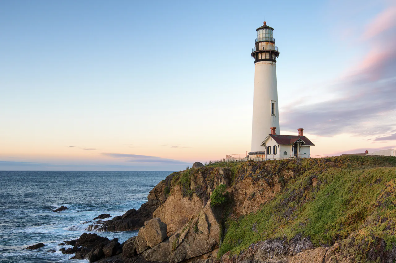
Leave the city early on Highway 1 through the Sunset District. The road tightens at Devil’s Slide south of Pacifica, opens out past Half Moon Bay, and the first proper stop is Pigeon Point Lighthouse, a 115-foot tower on a bluff about 50 miles down. You can’t climb it, but the bluff is free and the ocean here’s wild rather than pretty.
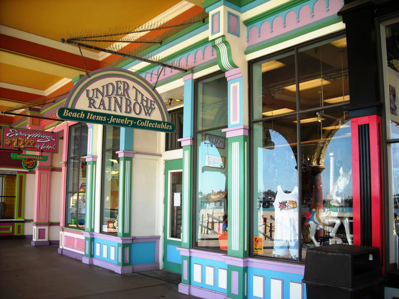
Santa Cruz is lunch: a 1907 boardwalk with a wooden roller coaster still running on the sand, a working wharf, and a surf museum in a small lighthouse on the cliff. It’s cheerfully scruffy and a good reminder that not all of coastal California is expensive.
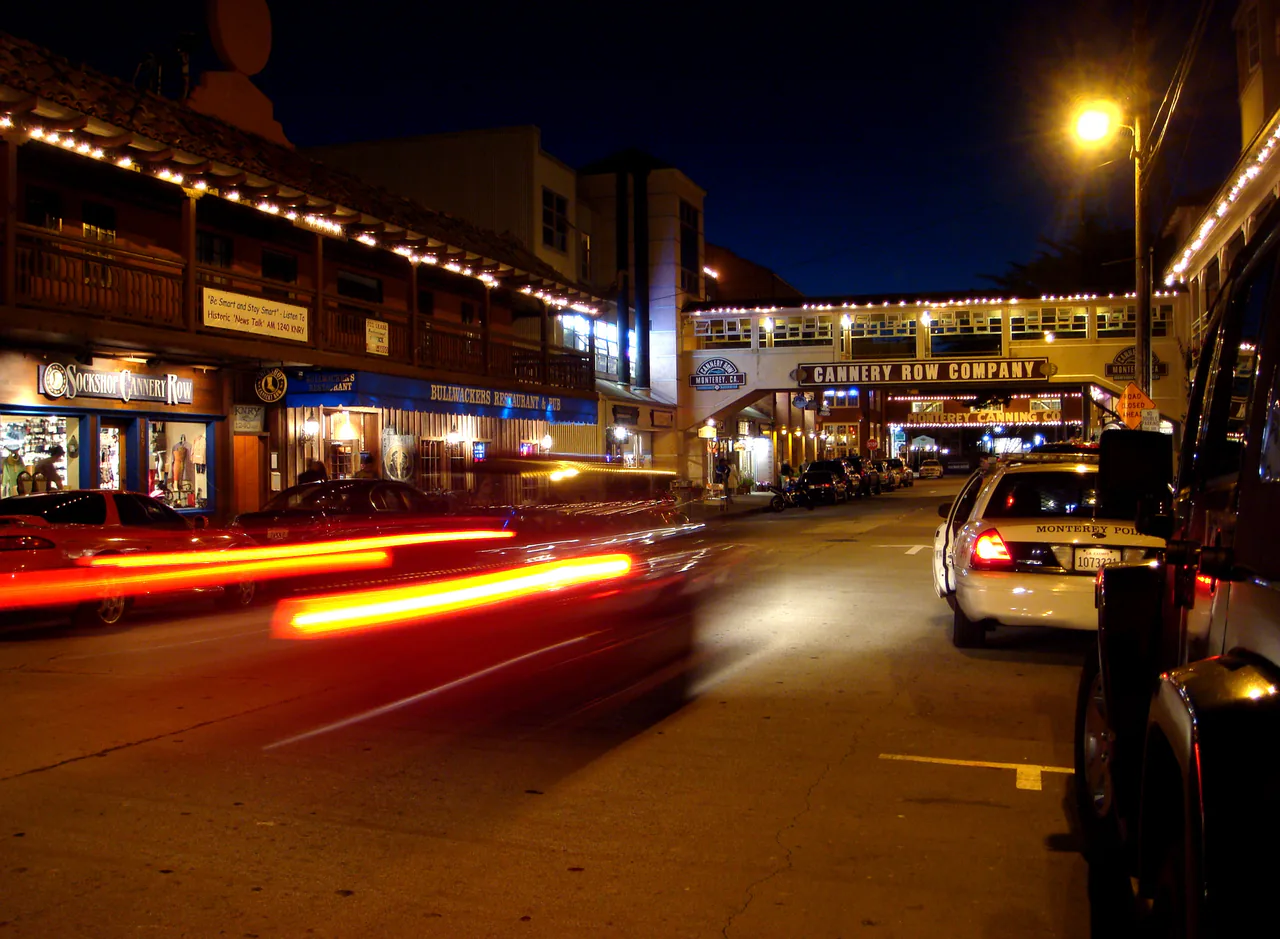
From there Highway 1 cuts inland across the artichoke fields of the Salinas Valley to Monterey, your first night. The Monterey Bay Aquarium ($65 for adults, sold online in advance) is the one paid attraction on this drive that almost everyone rates worth it, and the kelp forest tank is the reason. Cannery Row outside it’s mostly shops now, so eat at the harbor instead.
Day 2: Monterey to San Simeon, the Big Sur day
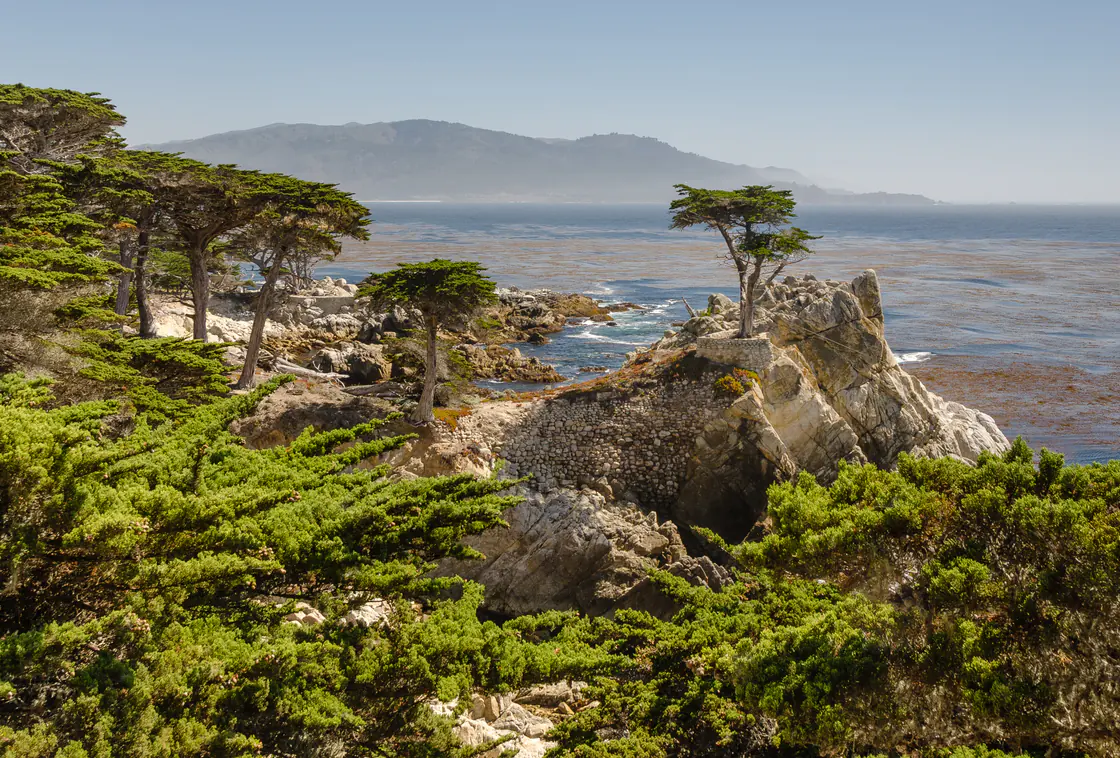
This is the drive itself: 95 miles that can swallow a whole day. Start with 17-Mile Drive through Pebble Beach, a private road that charges about $12 a car at the gate and gives you cypress, surf, golf courses and the Lone Cypress on its rock. The fee gets refunded if you spend $35 or more in a Pebble Beach Resorts restaurant, which turns lunch into a free entry ticket.
Carmel-by-the-Sea is ten minutes further: cottages without street numbers, galleries, and a white beach at the foot of Ocean Avenue. The 1797 Carmel Mission, where Junipero Serra is buried, sits just south of town and takes half an hour.
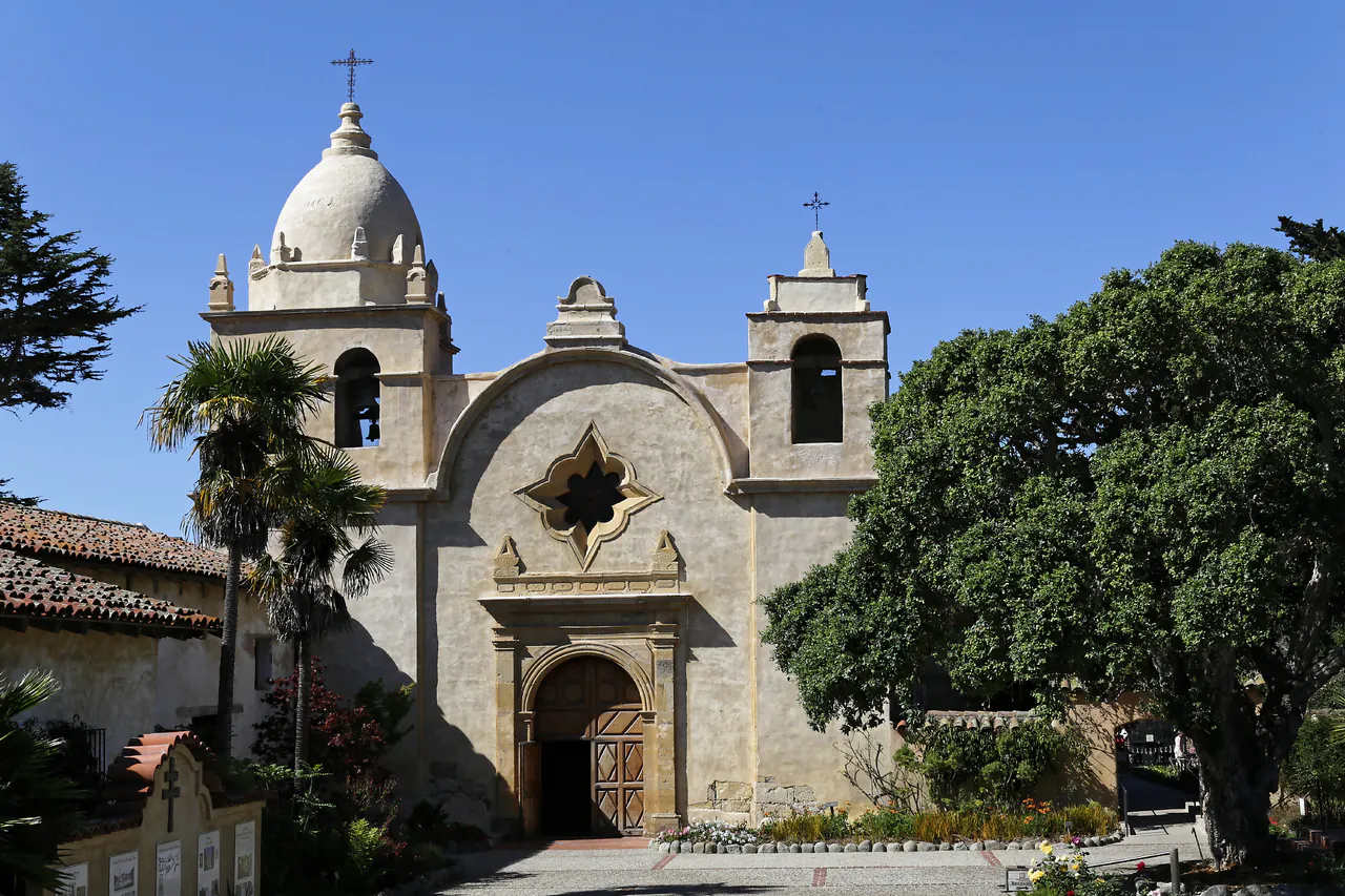
Fill the tank in Carmel. Gas stations in Big Sur are few and famously expensive, and cell service vanishes for long stretches, so download your map before the last bar disappears.
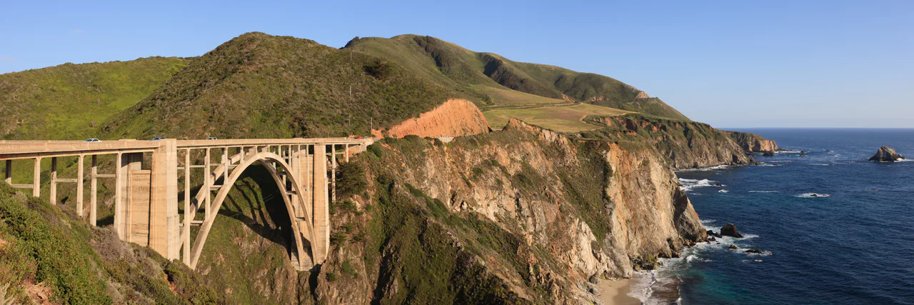
Then the good part. Bixby Creek Bridge arrives about 13 miles south, the single most photographed structure on the coast; use the pullout on the north side and walk back rather than stopping on the span. Beyond it the road climbs, the drop-offs get serious, and the average speed falls to something like 30 mph.
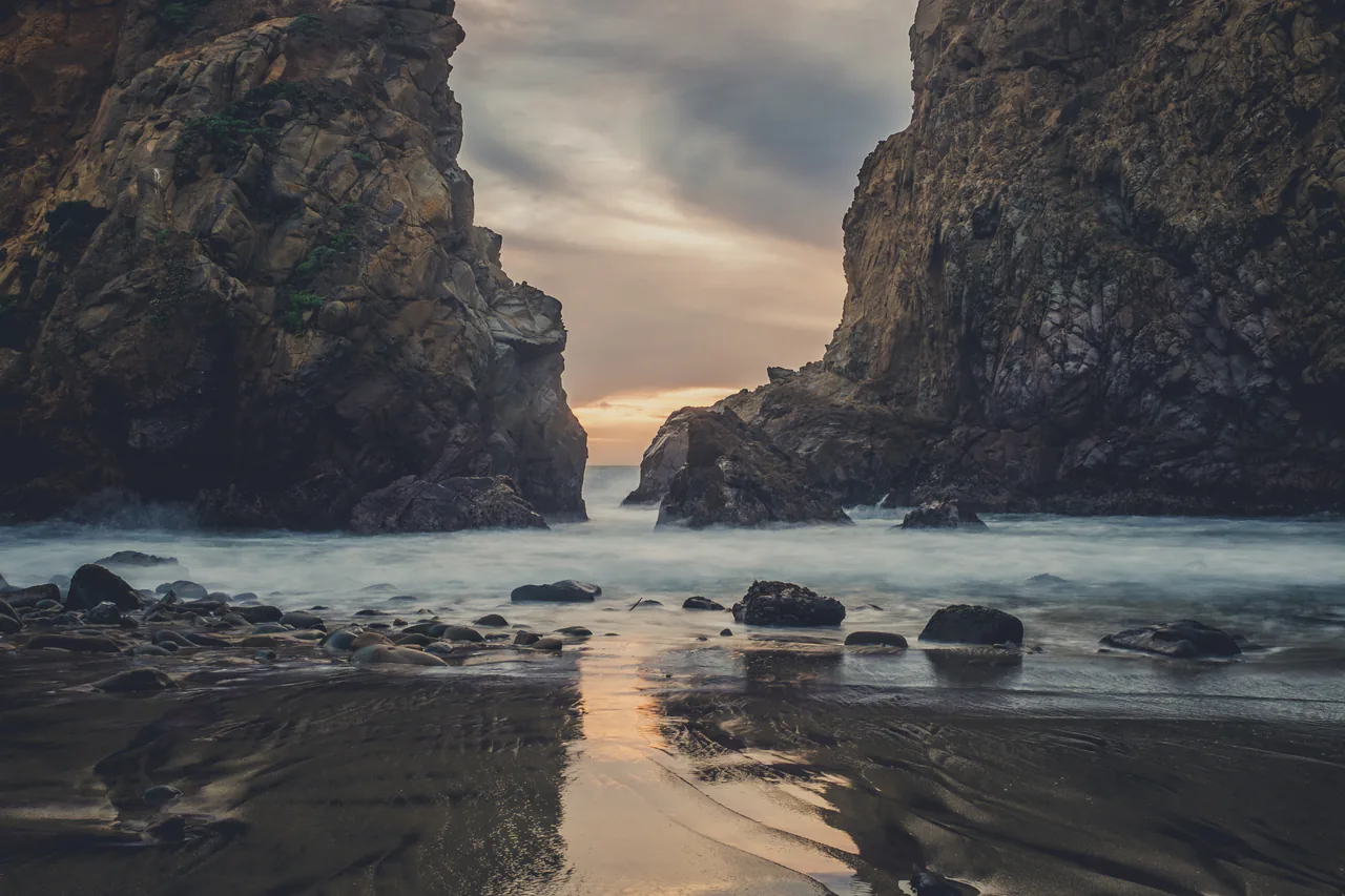
Pfeiffer Beach is the local secret that isn’t secret any more, but it earns the detour: purple-tinged sand from manganese garnet in the cliffs, and the Keyhole Arch that lights up at sunset in midwinter. The turn is an unsigned lane called Sycamore Canyon Road, two miles of single track with no room for large vehicles, and there’s a day-use fee at the gate.
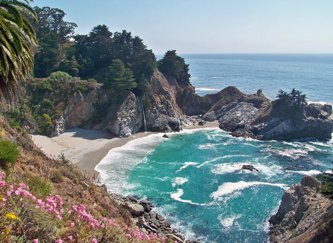
McWay Falls in Julia Pfeiffer Burns State Park is the picture everyone has seen: an 80-foot waterfall landing on a beach in a turquoise cove. One caveat that trips people up - the park’s Overlook Trail has been shut for a long-running retaining wall project, reported as continuing into 2026, and the fallback view is a small pullout beside Highway 1. Check parks.ca.gov before you build the day around it.
South of McWay the coast empties out. Ragged Point is the last cafe before the road drops toward San Simeon, where you sleep - either there or in Cambria, a pine-backed village a few miles further with more restaurants.
Day 3: San Simeon to Los Angeles
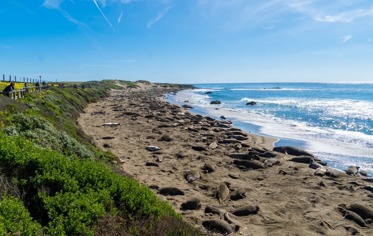
Start with the seals. The Piedras Blancas rookery, seven miles north of San Simeon, is free, needs no booking, and puts you 20 feet from several hundred northern elephant seals on two boardwalks. It’s open every day from sunrise to sunset; the biggest, loudest crowds of animals are there from late January into March.
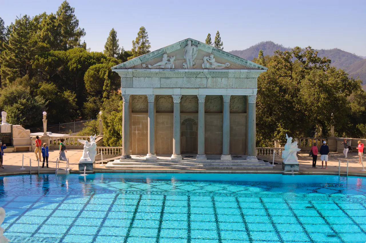
Hearst Castle is the opposite kind of spectacle: William Randolph Hearst’s hilltop estate, reached by shuttle from the visitor center, with the Neptune Pool as its set piece. Adult tours run about $35 and book up to 60 days ahead; the Grand Rooms tour is the one for a first visit.
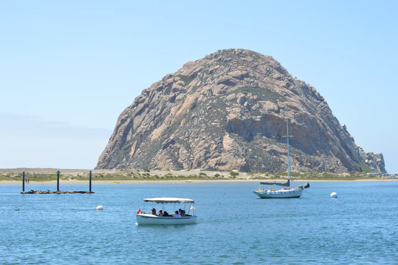
An hour south, Morro Bay puts a 576-foot volcanic plug in the middle of its harbor, with otters in the estuary and fish shacks along the Embarcadero. It’s the last cheap seafood before Santa Barbara.
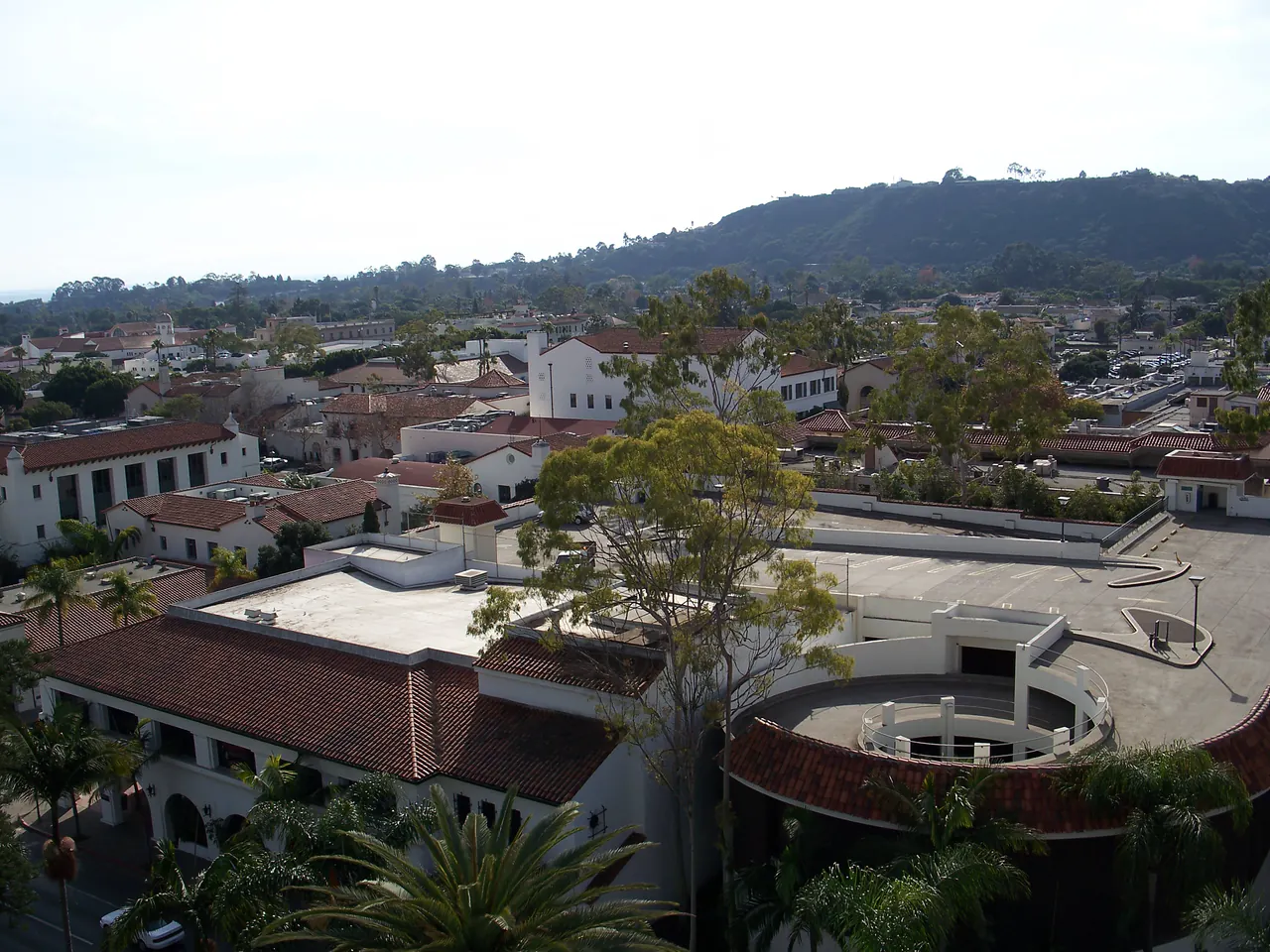
Santa Barbara is the last real stop, and the one people wish they’d given a night to: whitewashed walls and red tiles after the 1925 earthquake rebuild, a free elevator to the County Courthouse tower for the best view in town, tasting rooms in the Funk Zone and a long beach at the bottom of State Street.
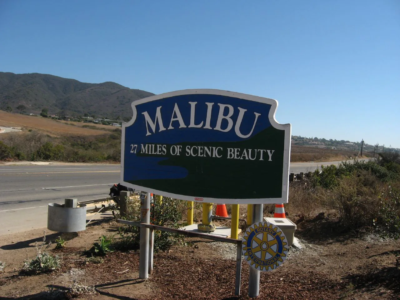
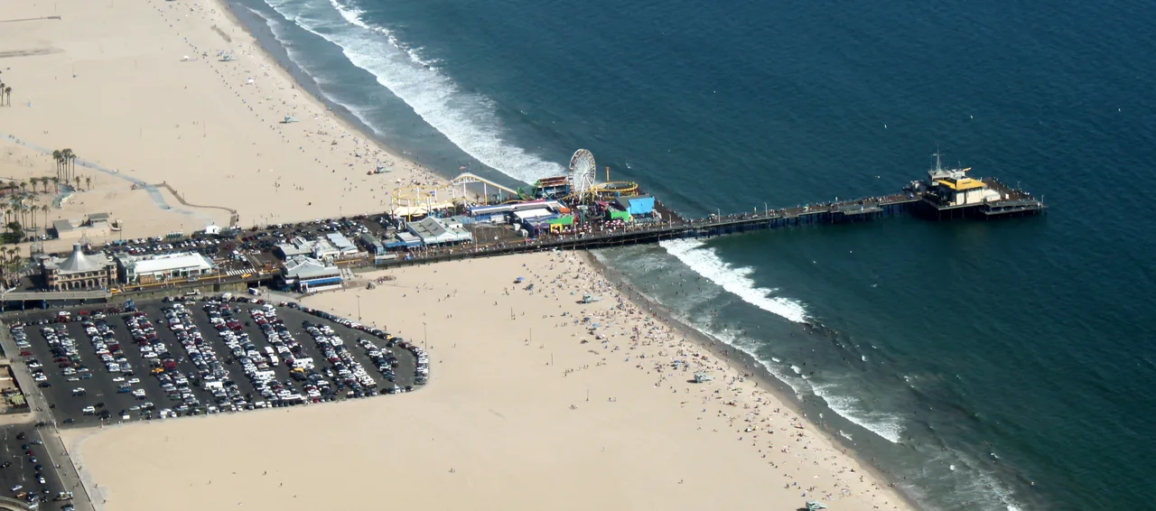
The final stretch runs down through Ventura and onto the Malibu coast, 21 miles of beach houses, sea stacks at El Matador and surfers at Surfrider. Then the traffic thickens and the drive ends at the Santa Monica Pier, which is also where Route 66 finishes.
What catches people out
Time is the first thing. The map says four hours from Carmel to San Simeon; the road says all day, because you’ll stop constantly and because 30 mph is a realistic average through the curves. Gas is the second: fill up in Carmel and again in Cambria, since prices in between are the highest you’ll see anywhere, on top of a state average around $5.40 a gallon in July 2026. Fog is the third - the coast can be socked in until noon in May and June, so an early start doesn’t always buy you the view.
Book beds before you go. Big Sur has a handful of expensive lodges and campgrounds, and everything else is in Monterey, Cambria or Morro Bay, all of which sell out on summer weekends. A one-way rental from San Francisco to Los Angeles usually carries a drop fee, which is still cheaper than driving the whole coast twice.
When to drive it
September and October are the best weeks: warm, clear and quiet once the school run has ended. April and May are green and pretty but foggy on the coast. Summer works, with more traffic and more marine layer. Winter is the gamble - it’s the season storms close sections of Big Sur, though it’s also when the elephant seals are at their best and rates drop everywhere.
Driving it the other way, north out of San Francisco, US 101 keeps going past the redwoods of Redwood National Park and into Oregon, where the whole 363-mile coastline is public by state law and the parking rules change at the border - the Oregon travel guide covers that leg. Start with our things to do in San Francisco guide for the days before you collect the car, and things to do in Los Angeles plus where to stay in Los Angeles for the other end. If you want the coast as part of a bigger loop with Yosemite, the California in 10 days route fits it together, and the California travel guide covers the regions either side of Highway 1.
Read also
- The full loop: California in 10 days
- Start point: things to do in San Francisco
- End point: things to do in Los Angeles and where to stay in Los Angeles
- Keep driving north: Oregon travel guide
- More US road trips and the California travel guide
Route day by day
- Days on the road
- 3
- Distance
- ≈770 km
- Budget from
- 550 USD
- Best season
- April, May, June, July, August, September, October
The route at a glance
-
San Francisco
Route startstop ≈60 min
The start. Fill the tank, head south on Highway 1 through the Sunset District and out along the coast toward Pacifica.
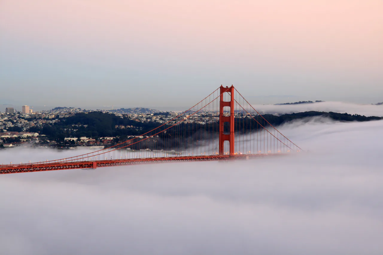
Photo: Brocken Inaglory · CC BY-SA 3.0 · Wikimedia Commons ( source) -
Pigeon Point Lighthouse
80 km from the startstop ≈30 min
One of the tallest lighthouses in the country, standing on a bluff 50 miles south of the city. Free to walk around the outside.
Photo: Frank Schulenburg · CC BY-SA 4.0 · Wikimedia Commons ( source) -
Santa Cruz
120 km from the startstop ≈90 min
Beach town with a 1907 boardwalk, a wooden roller coaster and a surf museum in a lighthouse. Good lunch stop.
Photo: Elisa Rolle · CC BY-SA 3.0 · Wikimedia Commons ( source) -
Monterey
195 km from the startstop ≈240 min
Night one. Cannery Row, the working harbor and the Monterey Bay Aquarium ($65 adult, buy online ahead).
Photo: Mark Miller (Amadscientist) · CC BY 3.0 · Wikimedia Commons ( source) -
17-Mile Drive (Pebble Beach)
205 km from the startstop ≈75 min
Private toll road through cypress and golf courses, about $12 per car at the gate, open sunrise to sunset. The Lone Cypress is the postcard.
Photo: Tuxyso · CC BY-SA 3.0 · Wikimedia Commons ( source) -
Carmel-by-the-Sea
215 km from the startstop ≈90 min
Storybook cottages, galleries and a white beach at the bottom of Ocean Avenue; the 1797 Carmel Mission is a short drive south.
Photo: Burkhard Mücke · CC BY-SA 4.0 · Wikimedia Commons ( source) -
Bixby Creek Bridge
235 km from the startstop ≈30 min
The most photographed span on the coast. Park in the pullout on the north side and walk back for the view.
Photo: King of Hearts · CC BY-SA 3.0 · Wikimedia Commons ( source) -
Pfeiffer Beach
270 km from the startstop ≈90 min
Purple-tinged sand and the Keyhole Arch, down a narrow unsigned lane (Sycamore Canyon Road). Day-use fee at the gate; big vehicles will not fit.
Photo: Kace Rodriguez · CC0 · Wikimedia Commons ( source) -
McWay Falls
285 km from the startstop ≈30 min
An 80-foot waterfall dropping onto a beach in a turquoise cove. The park Overlook Trail has been closed for wall repairs, so check parks.ca.gov before counting on it.
Photo: inkknife_2000 · CC BY-SA 2.0 · Wikimedia Commons ( source) -
Piedras Blancas elephant seals
355 km from the startstop ≈45 min
Free boardwalks above a wild elephant seal rookery, open sunrise to sunset every day, no reservation. Loudest from January to March.
Photo: Soundsfancy · CC BY-SA 4.0 · Wikimedia Commons ( source) -
Hearst Castle (San Simeon)
365 km from the startstop ≈150 min
Night two nearby in Cambria or San Simeon. Tours leave the visitor center by shuttle, about $35 adult, bookable up to 60 days ahead.
Photo: King of Hearts · CC BY-SA 3.0 · Wikimedia Commons ( source) -
Morro Bay
425 km from the startstop ≈60 min
A 576-foot volcanic plug standing in the harbor, otters in the estuary and fish and chips on the Embarcadero.
Photo: Blake Carroll · CC0 · Wikimedia Commons ( source) -
Santa Barbara
590 km from the startstop ≈180 min
White walls and red tiles, a free view from the County Courthouse tower, tasting rooms in the Funk Zone and a beach at the end of State Street.
Photo: Eugene Zelenko · CC BY-SA 4.0 · Wikimedia Commons ( source) -
Malibu
700 km from the startstop ≈60 min
Twenty-one miles of coast road, sea stacks at El Matador and the last good swim before the city traffic starts.
Photo: Ken Lund · CC BY-SA 2.0 · Wikimedia Commons ( source) -
Santa Monica
770 km from the startstop ≈0 min
Journey's end at the pier, where Route 66 also finishes. Drop the car here if your hotel charges to park it.
Photo: Jelson25 · Public domain · Wikimedia Commons ( source)
Route map
The map with stops loads on click - to keep the page lightweight.
The map didn’t load. Check your connection and refresh the page.