
California Travel Guide
North or south, nine national parks, the coast road and when to go by region - how to plan a California trip and what it actually costs in 2026.
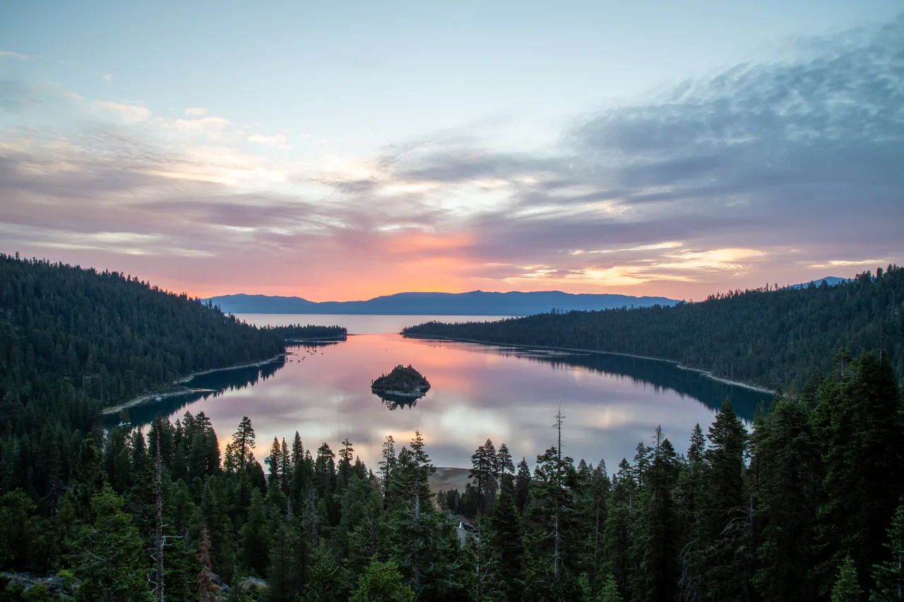
California is not one destination, and treating it as one is the fastest way to spend a vacation stuck in the car. The state runs about 800 miles from the Oregon border to Mexico: Los Angeles to San Francisco is six hours on the inland freeway, or two to three days if you drive the coast properly. With a week, pick a half - the south (LA, San Diego, the deserts) or the north (San Francisco, wine country, Yosemite). Ten days or more, and you can join them up.
The math changed this year for anyone arriving from abroad. Since 1 January 2026, visitors who are not US residents pay a $100 per-person surcharge, on top of the normal entrance fee, at eleven of the busiest national parks. Two are in California: Yosemite and Sequoia & Kings Canyon. For two people from the UK, a $35 park entry becomes $235. There’s a legal way to soften that, and you’ll want to handle it before you reach the entrance station rather than in the line.
North or south: choose a half
The split isn’t just geography, it’s a different kind of trip. Southern California is warm, sprawling, beach-and-city: Los Angeles, San Diego, Orange County, and the deserts of Joshua Tree and Palm Springs behind them. It’s easy in winter, hot but manageable in summer, and it runs on freeways.
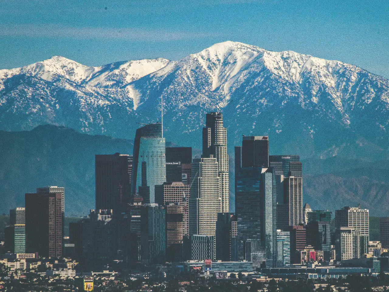
Northern California is cooler, greener and more compact at its core. San Francisco is a 49-square-mile city you can cover on foot and by transit, with Napa and Sonoma an hour north, the redwoods further up the coast, and the Sierra Nevada three to four hours east. The weather is the twist here: it does the opposite of what visitors expect, and September beats July.
The middle - the Central Coast between Monterey and Santa Barbara - isn’t really a base. It’s the drive that connects the two halves, and it deserves its own days rather than being squeezed into one.
The regions, and what each is actually for
Los Angeles is the entry point for most first trips: studios, beaches from Santa Monica to Malibu, the museums of Miracle Mile, and food that beats its reputation. It also needs a car, and it needs a smart choice of base, because a badly picked neighborhood turns every day into 90 minutes of traffic. Our guides to things to do in Los Angeles and where to stay in Los Angeles cover both.
San Diego is two hours further south: better beaches, a big zoo, a naval-town feel, and the most consistent weather in the state. It’s a fine two-day add-on to LA and an easy place to end a trip. Our guides to things to do in San Diego and where to stay in San Diego cover both.
San Francisco is the other city trip, and the one that works without a car. Hills, fog, cable cars, Alcatraz, and day trips to redwoods and vineyards within an hour or so. Start with things to do in San Francisco.
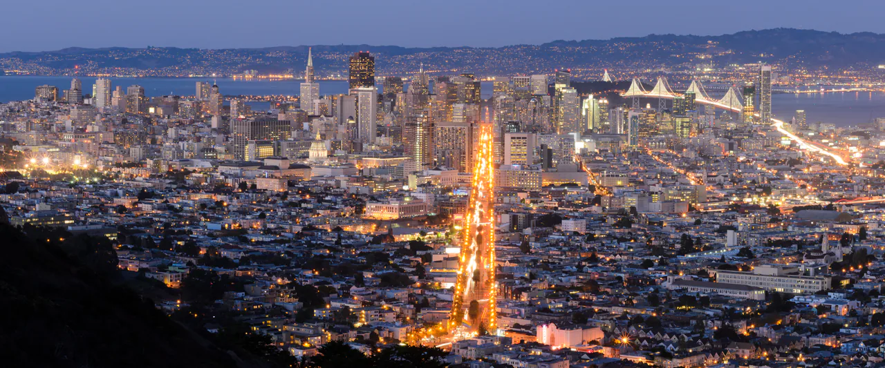
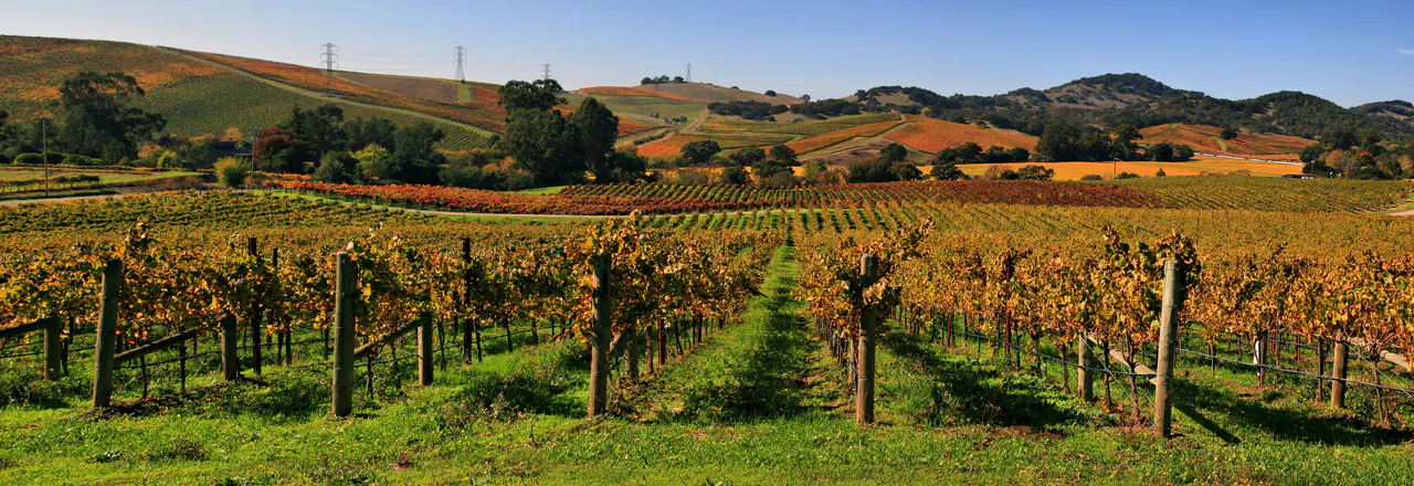
Wine country means Napa (polished, expensive, tasting fees to match) and Sonoma (looser, cheaper, more farmland). Both are an hour to 90 minutes from San Francisco, and both require a designated driver or a booked tour.
The Sierra Nevada holds Yosemite, Sequoia and Kings Canyon, plus Lake Tahoe on the Nevada line. This is the part of California that has a proper winter: roads close, chains get required, and the high passes are shut for half the year. The two sequoia parks share one entrance pass and one road, the Generals Highway.
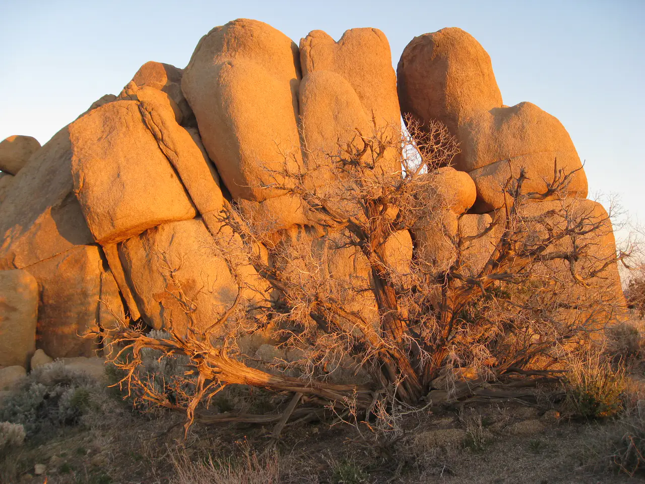
The deserts - Joshua Tree, Death Valley, Palm Springs - are winter and shoulder-season country. Death Valley in July is genuinely dangerous rather than merely hot, and August in Joshua Tree isn’t hiking weather.
The far north - Redwood National and State Parks, Lassen, the Lost Coast - takes real time to reach (Redwood is a five to six hour drive north of San Francisco) and is the one region almost every first-timer skips. Fair enough on a first trip, but the trees are unlike anything else in the country.
Nine national parks, and the fee that changed in 2026
California has nine national parks, more than any other state. Yosemite is the headline: granite walls, waterfalls that are at their loudest in May and thin out by August, and a valley floor that fills up early. Sequoia and Kings Canyon have the giant trees. Death Valley has the lowest, hottest ground in North America. Joshua Tree has the rocks, the strange trees and the dark-sky nights. Redwood has the tallest trees and 37 miles of coast, and it’s genuinely free to enter. Lassen, Channel Islands and Pinnacles get a fraction of the traffic.
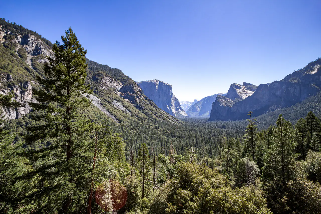
Yosemite dropped its timed entry reservation system for 2026, so there’s no booking window to chase; the park manages crowding with traffic and parking control instead. The flip side is that valley parking lots fill on summer mornings, so get in early and ride the free shuttle rather than circling for a space.
The nonresident surcharge is the other thing to plan around. It applies to non-US residents aged 16 and over at Yosemite, Sequoia & Kings Canyon and nine other parks nationwide; children 15 and under are exempt. The workaround is the America the Beautiful Non-Resident Annual Pass at $250, which covers the surcharge for the holder plus three other nonresident adults. Two adults visiting both Yosemite and Sequoia would pay $400 in surcharges without it, so for any group of two or more that sees more than one listed park, the pass wins. Death Valley and Joshua Tree are not on the list, which quietly makes a desert-focused trip cheaper for foreign visitors than a Sierra one.
The coast road
Highway 1 between San Francisco and Los Angeles is the drive people come for, and it’s open along the Big Sur coast in summer 2026 for the first full peak season in three years, after the Regent’s Slide repair reopened in January. Repair zones still run one-way traffic under signals, and Caltrans schedules occasional overnight closures, so check roads.dot.ca.gov the morning you drive rather than trusting a blog post, including this one.
Give it three days minimum southbound (the ocean is on your side of the road going south, which matters more than it sounds). Our Pacific Coast Highway road trip breaks the drive into stops, and the California in 10 days itinerary fits it into a full trip with San Francisco and Yosemite at the start.
When to go, region by region
There’s no single best month, because the state runs at least four climates at once.
- Coast, north: September and October are the warmest and clearest months in San Francisco, averaging around 69-70F, while July hovers near 63F under fog. Summer in the city is the cold season, which surprises almost everyone.
- Coast, south: reliable from April to November; the marine layer (“May gray”, “June gloom”) can gray out mornings in late spring even in LA.
- Sierra: July to September for the high country. Tioga Road across Yosemite closed on 12 November 2025 and only reopened on 15 May 2026, which is typical, so a spring trip means the valley only, not the passes.
- Deserts: October to April. Avoid midsummer.
- Wine country: August to October for harvest, with September the busiest and priciest.
Getting there and getting around
Los Angeles (LAX) and San Francisco (SFO) take most international arrivals; San Diego (SAN) is a good third door if you’re starting in the south, and flying into one and out of the other saves a long backtrack, at the cost of a one-way drop fee on the rental. From LAX into downtown, FlyAway, rideshare and taxi options are a different problem from continuing south to Anaheim. California drew 267.8 million visitors in 2024 and a record $157.3 billion in spending, so book flights and summer hotels early rather than hoping for late deals.
Outside San Francisco and central LA, you need a car. Amtrak’s Pacific Surfliner along the southern coast and the Coast Starlight up the spine are pleasant and slow; they’re a scenic choice, not a way to see parks. Distances that look small on a map aren’t: San Francisco to Yosemite Valley is about 195 miles and four hours, LA to Joshua Tree about 130 miles, LA to San Diego 120 miles that can take three hours at the wrong time of day.
What it costs in 2026
Gas is the number that catches people out: California averaged around $5.40 a gallon for regular in July 2026, among the highest in the country, and a two-week loop can easily burn 100 gallons. Hotel taxes add up too, at 14% in San Francisco and 15.5% in the City of Los Angeles, on top of resort fees and $40-a-night parking downtown.
Set against that, a lot of California is free or close to it: beaches, the Getty, Griffith Observatory, most of Golden Gate Park, the coast road itself. A realistic mid-range budget spends on the car, the gas and the city hotel, and stays relaxed about the rest. If you’re choosing between regions on cost alone, the deserts and the Central Coast beat the Bay Area and Yosemite once the nonresident park surcharge is in the math.
Read also
- Plan the classic route: California in 10 days
- Drive the coast: Pacific Coast Highway road trip
- The two big cities: things to do in Los Angeles and things to do in San Francisco
- Browse more US states and US cities
On the map
The map loads on click - to keep the page lightweight.
The map didn’t load. Check your connection and refresh the page.
Read also

States · 11 min read
Connecticut: Mystic, New Haven and the Shoreline
Verified · September 12, 2026Mystic Seaport at $35 adult, free Yale galleries in New Haven, and Gillette Castle on the river - how a Connecticut weekend actually fits.

States · 9 min read
North Dakota: Medora and Theodore Roosevelt NP
Verified · September 5, 2026The 36-mile South Unit loop starts in Medora, entrance $30 per vehicle, cashless from May 2026 - how to plan Theodore Roosevelt National Park.

States · 9 min read
Arkansas Travel Guide: Hot Springs & Ozarks
Verified · September 4, 2026Fee-free Hot Springs NP downtown, free Crystal Bridges in Bentonville, and the 135-mile Buffalo - how to string an Arkansas road trip.

States · 10 min read
Indiana Travel Guide: Indy, Speedway, Shore
Verified · September 5, 2026IMS Museum at $25, Kiss the Bricks at $15, Brown County hills and Lake Michigan shore - an Indiana trip beyond a Chicago beach day.