
Death Valley National Park: When to Go and How to Stay Safe
Death Valley regularly tops 120F in summer, and NPS says: do not hike the low elevations when hot. Entry fees, closures and safety, checked 20 Aug 2026.
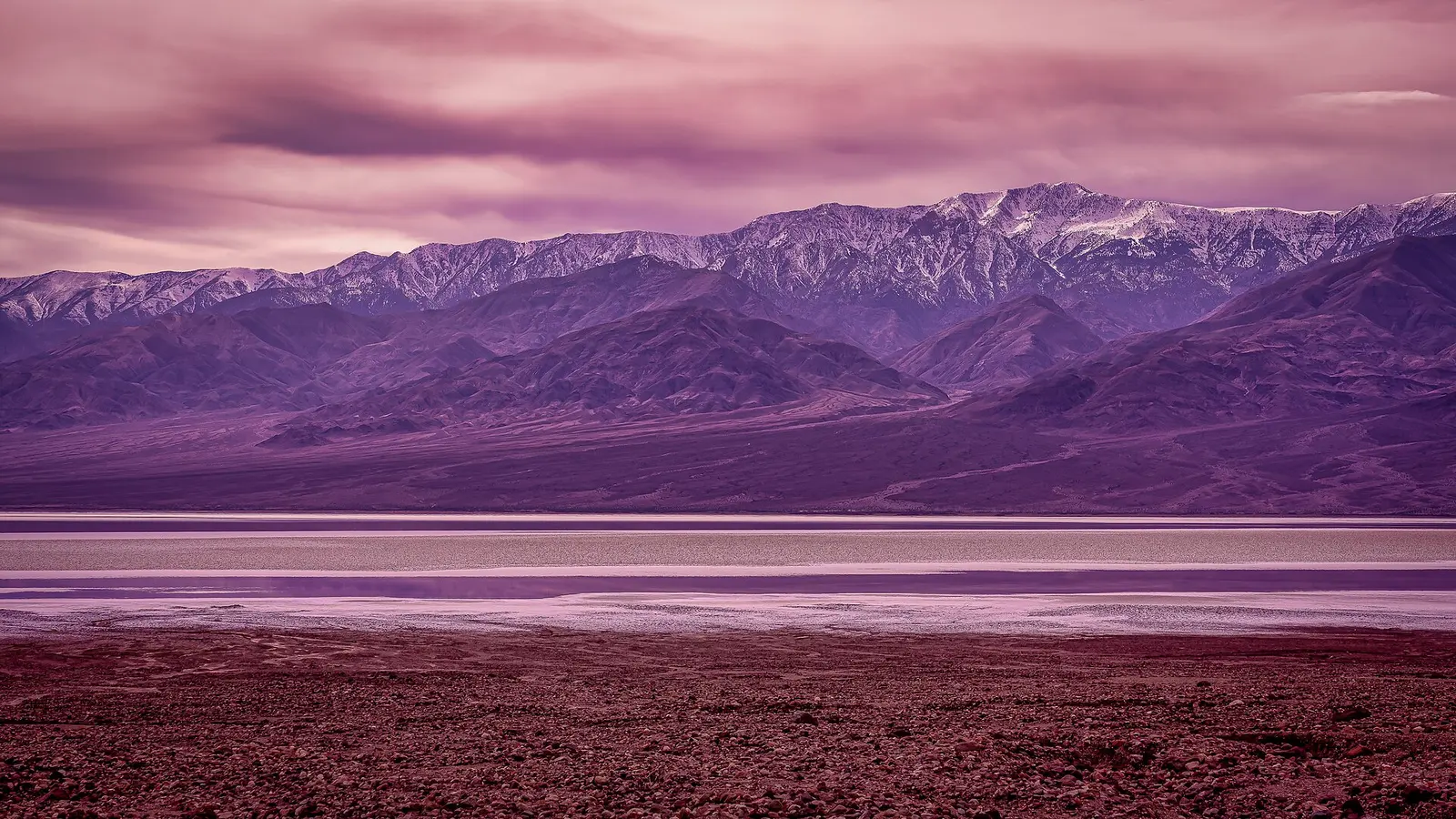
Death Valley in August runs hot enough that the National Park Service says it outright: don’t hike the low elevations while it’s hot, and carry at least a gallon of water a day per person. The park stays open all year, and most people who come in August do it safely - the trick is timing the day around the heat instead of around the itinerary you’d run at any other national park. Here’s what that actually means for the drive in, the entrance pass, the roads that are closed this week, and the parts of the safety warnings that get flattened into cliché by other guides.
What “hottest place on Earth” means in practice
Furnace Creek regularly tops 120F (49C) in summer - that’s the number worth planning around, not NPS’s stated ceiling of “as high as 130F (54C),” which is a rare extreme: the park’s own record-keeping calls a 130F reading the hottest recorded there since 1913, not a thing that happens most Augusts. Even after dark the low often doesn’t drop below 90F (32C). This is the baseline, not a freak reading - in an especially severe stretch, the park has posted a monthly average daily high over 118F, with more than a month’s worth of days above 120F - and it’s why NPS puts its warning in capital letters rather than a footnote: “DO NOT hike in the valley/lower elevations when it is hot.” Save the low trails - Badwater, Golden Canyon, the salt flats - for sunrise, and treat the rest of the day as a driving-and-viewpoint window, not a hiking one. Rangers put a number on the alternative, too: once you’re off the trail, park advice is to stay within a 10-minute walk of an air-conditioned vehicle.
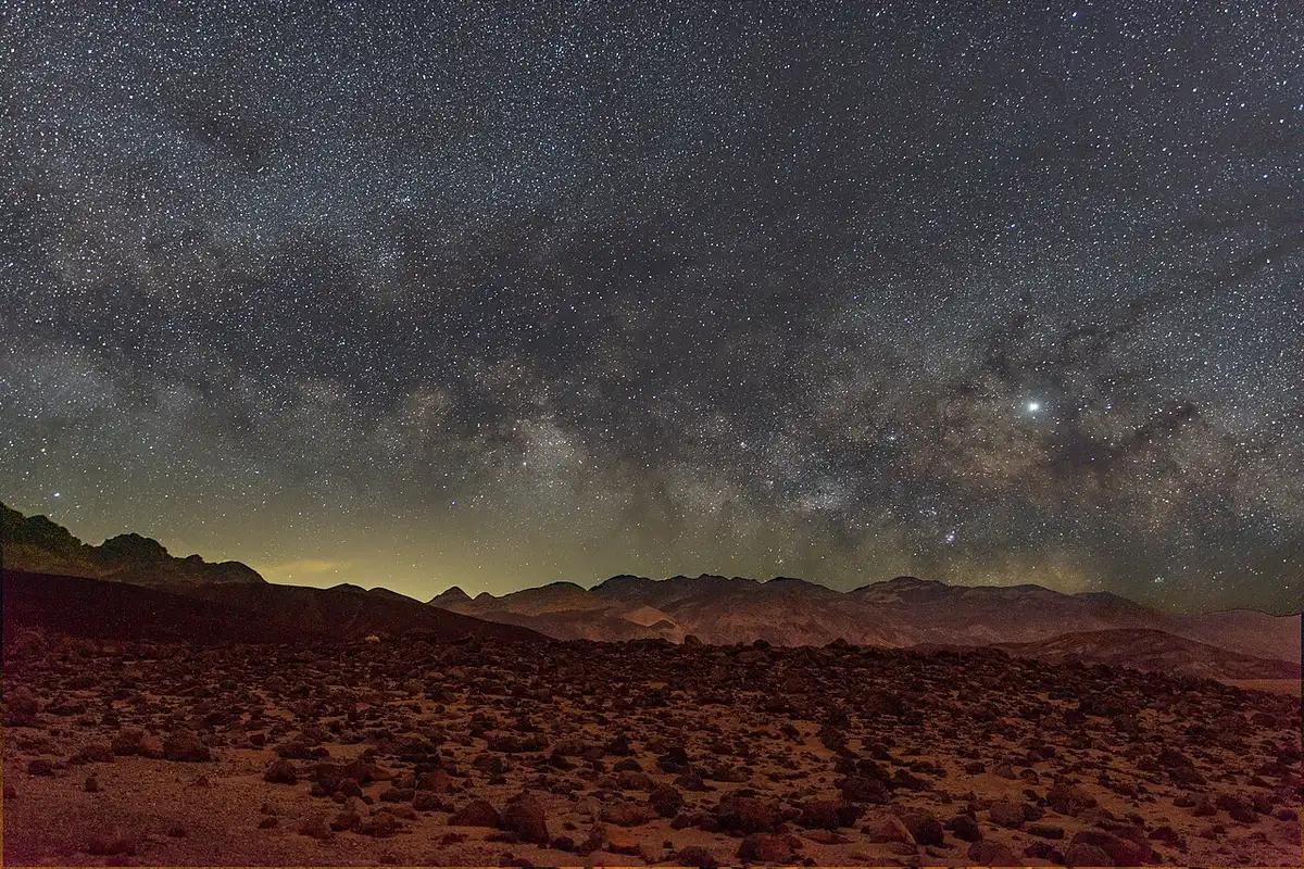
Drink water on a schedule, not when you feel thirsty - by the time you’re thirsty in this kind of heat, you’re already behind. Refill points exist at Furnace Creek, Stovepipe Wells and Panamint Springs, so a day plan that hops between those three keeps you covered. Watch for the two warning stages NPS names directly: heat exhaustion (nausea, fatigue, headache, pale clammy skin) and heat stroke, which looks similar but adds confusion or disorientation. If either shows up and you have signal, call 911; if not, find a ranger.
Heat isn’t the only capital-letters warning on the NPS safety page. August sits inside the Mojave Desert’s summer monsoon window, when a storm you can’t even see can flood a canyon that’s bone dry where you’re standing. The park’s rule is direct: “DO NOT HIKE in canyons during an active rainstorm, or if there is a high chance of precipitation.” If the sky looks threatening anywhere upstream, get to high ground and wait it out rather than pushing on.
Getting in: what the pass covers
A standard entrance pass runs $30 per private vehicle, covering everyone inside for 7 days, or $25 for a motorcycle, or $15 per person on foot or bike. If you’re coming back within a year, the park’s own $55 annual pass usually beats paying twice. The park is cashless - pay by card at the visitor center, at Stovepipe Wells Ranger Station, or at one of the fee machines that take a physical card 24/7 for the standard pass (annual and lifetime passes are sold in person only, and the machines don’t take digital wallets).
Death Valley is not one of the eleven national parks charging non-US residents an extra $100. Yosemite, Sequoia & Kings Canyon and nine others do; Death Valley’s own fee page explicitly sells the standard pass to “all visitors, including non-US residents” with no add-on. If someone told you to budget for that fee here, they mixed it up with a different park.
The drive in, and why the GPS is not fully trustworthy
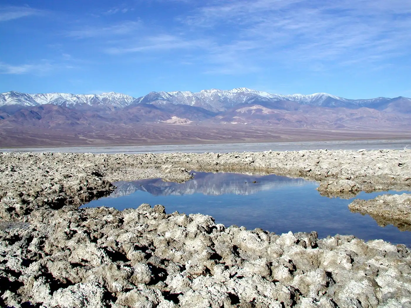
There’s no bus and no shuttle into the park. Almost everyone drives in - your own car or a rented one - though NPS also allows a permitted tour group as a way in if you’d rather not self-drive. NPS puts one warning ahead of almost everything else: don’t rely only on your phone’s GPS. The park’s own directions page says GPS to remote spots like this is “notoriously unreliable,” and that “numerous travelers have been directed to the wrong location and dead-end or closed roads by following incorrect GPS information” - the official advice is to carry an up-to-date road map and check the GPS against it, not trust it blind.
The road system itself is the other thing people underrate. A lot of it was built in the 1930s: narrow, winding, and not built for highway speeds. NPS is direct about the real risk here - it isn’t the heat that kills most visitors, it’s single-vehicle rollover crashes on those long, twisting roads. Keep to posted limits and wear the seatbelt every time, even for a five-minute hop between viewpoints.
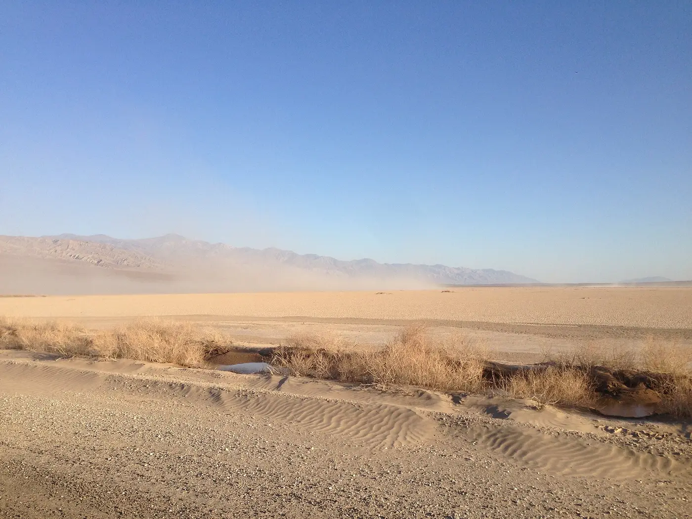
Most people base themselves in Las Vegas and drive in. NPS publishes its own route guide for exactly this trip, and the shortest of the four options it lists runs 120 miles and 2 hours to Furnace Creek Visitor Center - the other three trade time for scenery, up to 172 miles and 3.5 hours past the Rhyolite ghost town. That’s the park’s own published figure, not a routing app’s, and it’s worth knowing that a generic free-flow route calculation for the same roads comes out close to an hour longer - here, the routing engine overestimates, which is the opposite of the usual “traffic will add time” caution. California trips coming from the coast usually route in through the Sierra foothills instead; either way, fill the tank before the park boundary, because prices inside are desert prices and stations are hours apart.
Road closures: what’s shut, and what’s just rough
Flood damage is a recurring theme here, and the park’s road list changes with each storm season, so check it fresh rather than trusting an old blog post. The park’s Road Status section carries its own update stamp, August 13, 2026, separate from the site’s general “last updated” footer a few days later. Three closures are worth planning around because they’re long-horizon, not this week’s mud: Darwin Falls is damaged badly enough that NPS expects it to stay shut into summer 2027; Scotty’s Castle and Bonnie Clare Road remain closed for flood recovery, no pedestrian access either, with no reopening date set; and Titus Canyon Road is open for now but has a scheduled closure from October 1, 2026 through September 30, 2027 - and even before that date, NPS notes it “may be closed occasional days” for the ongoing repair work. Phinney Canyon Road has lost its final three miles to washouts and is impassable to any vehicle.
Everything else on the list - Hunter Mountain Road, West Side Road, North Highway, the southern stretch of Badwater Road, Lower Wildrose Road, Harry Wade Road - is the kind of mud, gravel and soft-shoulder status that changes week to week, so check the live list on nps.gov/deva rather than trusting a number printed here. Campgrounds work on a calendar rather than a storm: Furnace Creek, Mesquite Spring, Wildrose (no water - bring your own), Thorndike, Mahogany Flat, Eureka Dunes, Saline Valley and Homestake were open at the last check, while Texas Springs, Stovepipe Wells and Sunset close seasonally rather than permanently - if you’re planning a fall or winter trip, don’t cross them off the list just because they’re not showing as open in August.
Gas and signal: plan the day like the desert means it
Three places sell fuel inside the park: The Oasis at Death Valley in Furnace Creek (two grades plus diesel), Panamint Springs Resort (gasoline and diesel), and Stovepipe Wells (87-octane only, no diesel). That’s it - miss one and the next could be an hour or more away. Electric vehicles have no fast chargers inside the park at all; the nearest sit in Beatty, Nevada, 43 miles from Furnace Creek, so an EV trip here needs real planning, not a “we’ll find a charger” attitude.
Cell service barely exists once you’re off the main corridor near Furnace Creek. Wifi is a paid add-on at Furnace Creek Ranch and nowhere else. Tell someone your route and return time before you head out on any of the longer drives, the same way you would before a backcountry hike - out here, “someone knows where I went” is a real safety measure, not just good manners.
Where people sleep
Furnace Creek has lodging inside the park, but rooms are limited and priced accordingly, especially over a weekend. Most people instead sleep in Las Vegas and drive in and out - and once you factor in two hours each way plus a sunrise start on the low trails, that makes it more of an overnight than a quick day trip, somewhere with air conditioning that doesn’t run on a generator and a full range of restaurants once the heat breaks in the evening.
This isn’t a month to skip Death Valley, but it is a month to plan it around the heat rather than around your usual hiking instincts: low trails at sunrise, viewpoints with the AC running through the middle of the day, more water than feels reasonable, and road conditions checked the week you go rather than the month before.
The rest of the year looks nothing like August
Everything above is a summer problem, not a Death Valley problem. Winter here is mild by day and only occasionally brushes freezing at night - NPS puts the cooler-season average highs at roughly 65-82F with lows in the 38-55F range, which turns the exact same low trails that are off-limits in summer into the best hiking of the year, no sunrise deadline required. Spring adds wind - it’s the windiest season in the park - but daytime temperatures stay comfortable, and a wet winter can turn the valley floor into a wildflower bloom worth planning around, though the timing moves with the rain and NPS doesn’t publish it far in advance. If summer safety is the only reason Death Valley has been on the maybe list, October through April is the answer: the entrance fee, the road closures and the GPS warnings above still apply, but the water math and the sunrise deadline don’t.
On the map
The map loads on click - to keep the page lightweight.
The map didn’t load. Check your connection and refresh the page.
Admission and opening hours
- Admission price
- Standard entrance pass: $30 per private vehicle (7 days, all passengers included), $25 motorcycle, $15 per person on foot or bicycle. Death Valley Annual Pass $55. Park does not accept cash - card only.
- Opening hours
- Park open 24/7, year-round. Furnace Creek Visitor Center: 8:00 a.m.-5:00 p.m. daily.
Death Valley is NOT one of the 11 national parks charging non-US residents the extra $100 fee - that surcharge does not apply here. Road conditions change fast after storms; confirm current closures on nps.gov/deva before you drive in.
Details checked: August 20, 2026
Read also

National Parks · 12 min read
Canyonlands and Capitol Reef: Utah's Two Quiet Parks
Verified · August 29, 2026Canyonlands $30, Capitol Reef $20 for the Scenic Drive - what each park costs, which district to skip, and which one wins if you only have a day.

National Parks · 8 min read
Indiana Dunes from Chicago: Beaches & the $25 Gate
Verified · August 26, 2026Leave Chicago early for West Beach, the Dune Succession Trail and the South Shore Line to Dune Park. National and state park fees do not cross.

National Parks · 8 min read
Carlsbad Caverns: Natural Entrance and Bat Flight
Verified · August 25, 2026$15 entry plus $1 timed reservation, Natural Entrance vs elevator, Big Room loop, and free bat flights April-Oct.

National Parks · 8 min read
White Sands: Dunes, Sledding and Closures
Verified · August 25, 2026Gypsum dunes, $25 entry, sledding tips, and why missile-range tests can close Dunes Drive for hours - check NPS the morning you go.