
Canyonlands and Capitol Reef: Utah's Two Quiet Parks
Canyonlands $30, Capitol Reef $20 for the Scenic Drive - what each park costs, which district to skip, and which one wins if you only have a day.
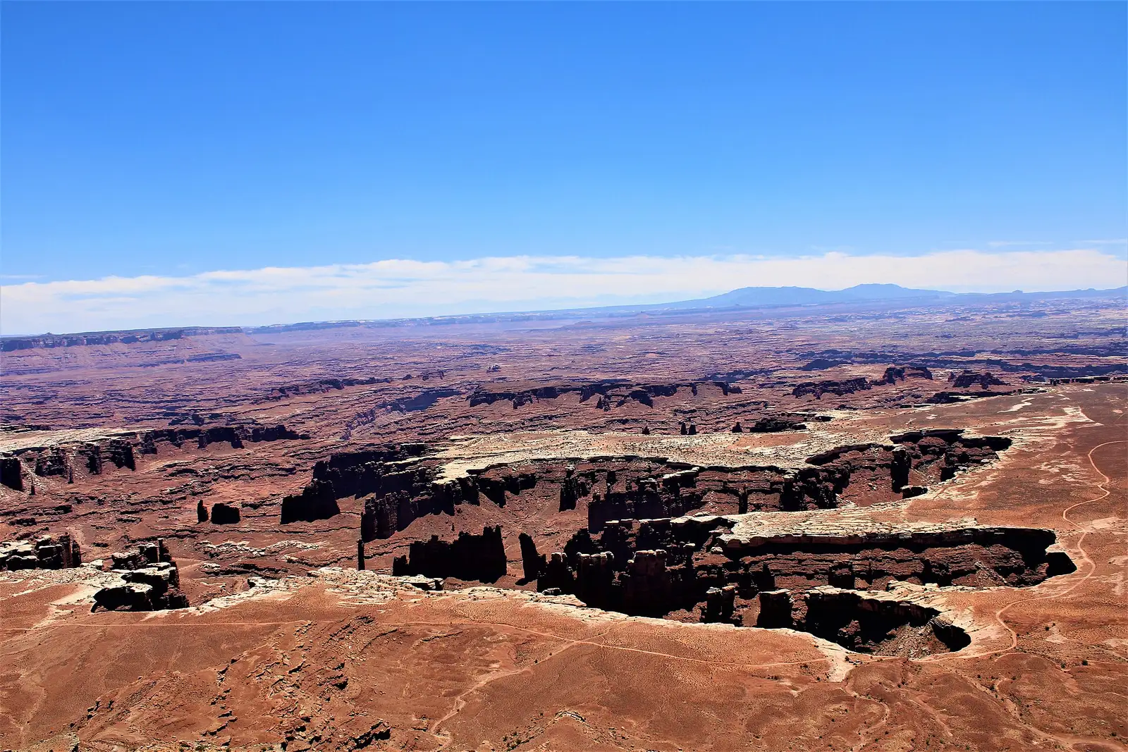
If you have one extra day in Utah after Zion, Bryce and Arches, it goes to Canyonlands’ Island in the Sky, not Capitol Reef. If you have two, both parks fit without rushing either one. Neither charges the $100 nonresident surcharge that trips up visitors at Zion and Bryce, and neither needs a timed-entry reservation - the planning problem here is distance and drive time, no entry permits or lottery involved.
Island in the Sky is the easy yes
Canyonlands splits into three districts that don’t connect to each other by road, and Island in the Sky is the one built for a short visit. It’s a mesa-top drive about 40 minutes from Moab: 10 miles north on US-191, then 22 miles southwest on UT-313. A paved scenic drive strings together overlooks with 1,000-foot drops on both sides, and you can do the highlights in half a day.
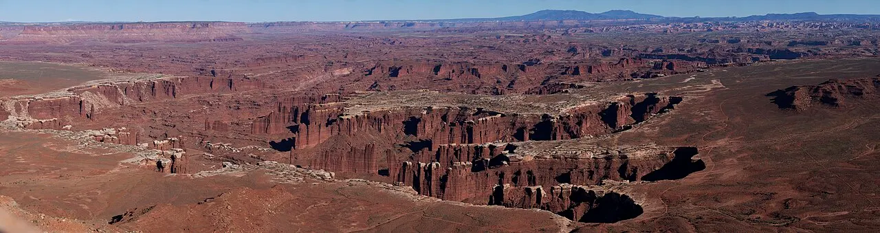
Mesa Arch earns its reputation as the sunrise shot everyone has seen; get there before the light does, because a dozen tripods will beat you to the rail otherwise. Green River Overlook is quieter and just as deep. Neither needs more than a 20-minute walk from the car, which is the entire appeal of this district over the other two.
Grand View Point: a weekday closure NPS dates two ways
The park’s own construction notice is worth reading before you drive out, and right now it’s worth reading twice. NPS shut Grand View Point Overlook, its trail and 0.3 miles of the access road from 6 a.m. Monday to 4 p.m. Thursday for the third phase of a parking-lot rebuild, starting July 27, 2026. The construction page, stamped August 31, 2026, ends that window on August 27 and describes the job as up to six weeks of weekday closures running through August - by that page, the closure is done. The park’s live alert feed still carries a banner with an October 1, 2026 end date, and the two haven’t been reconciled, so treat a weekday visit as unsettled and pull up the construction page the morning you drive out. While a closure is on, the shape of it’s simple: nobody gets past the closure point in those hours, cars, bikes and hikers turn around at Orange Cliffs Overlook, buses or long trailers stop even earlier, at Green River Overlook, and the road reopens at 4 p.m. every Thursday and stays open all weekend with parking squeezed by the construction gear. The final phase of the rebuild is scheduled for July through September 2027, and NPS hasn’t posted its closure days yet.
NPS flags the entire March-through-November stretch for long entrance-station waits and full trailhead parking generally, especially around Easter, Memorial Day weekend, Labor Day weekend and Utah’s fall break. A weekday morning still beats a weekend afternoon almost everywhere else in the park.
The Needles and the Maze ask for more than an afternoon
The Needles sits 40 miles south of Moab (or 14 miles north of Monticello) via US-191, then 35 miles west on UT-211 - the only paved road in or out. Where Island in the Sky is a scenic drive, the Needles is a hiking park: Chesler Park, the Joint Trail and Elephant Hill reward people who commit to a half-day loop instead of a five-minute pullout stop.
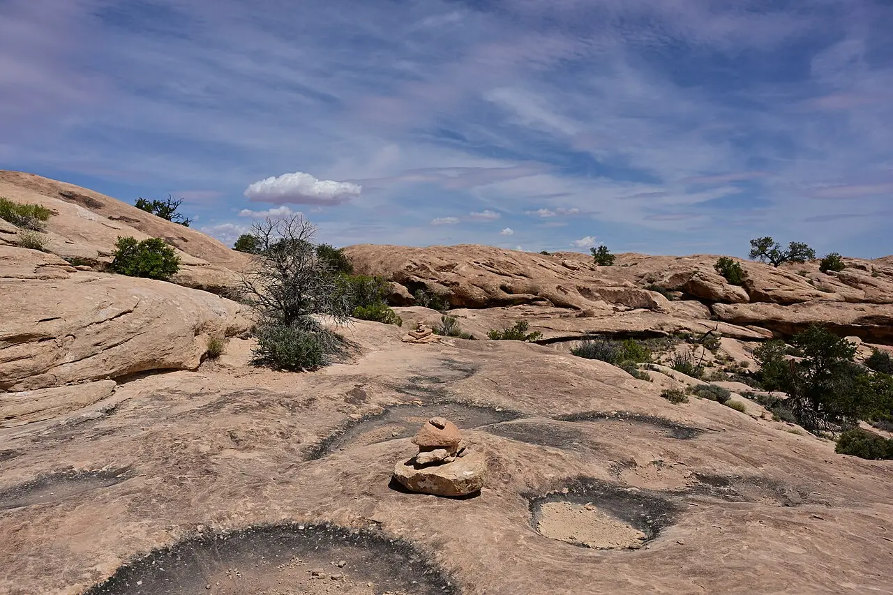
There’s no road connecting Island in the Sky to the Needles inside the park boundary. Both mileages above are measured from Moab, which puts the two districts around 107 miles apart and roughly two to two and a half hours by the only route that exists - back through Moab and out again. People who try to “do both districts in a day” almost always mean a long day of driving with a short hike at each end.
The Maze is a different category entirely: reachable only by unpaved or high-clearance 4WD roads that can go impassable when wet, with no paved access at all. Hans Flat Ranger Station, the district’s only staffed outpost, closed temporarily in late August 2026 - NPS took it offline so the people there could work an active search operation, and it’s pointing trip questions at Canyonlands’ Backcountry Office (canyres@nps.gov) instead. That matters more here than it would anywhere else in the park: Hans Flat is where you’d normally get a read on road conditions, and there’s no food, fuel or potable water past it in any case. Check the park’s own Maze page for the station’s status the week you’re going, and skip the district entirely unless the Maze itself is the trip.
Vehicle, motorcycle, or on foot: what Canyonlands charges
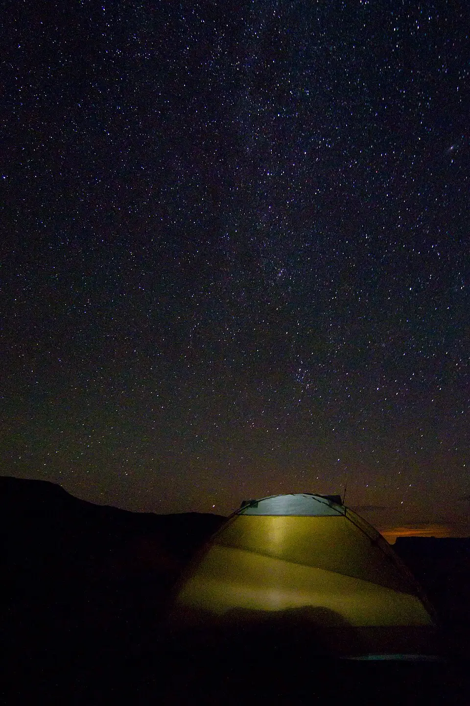
A private vehicle is $30 for seven days, a motorcycle $25, and a person on foot or bicycle $15 - no different for US or international visitors, since Canyonlands isn’t among the 11 parks carrying the $100 nonresident surcharge (Zion and Bryce, both nearby, are). If you’re also doing Arches, the $55 Southeast Utah annual pass covers both plus Natural Bridges and Hovenweep, but it’s sold to US residents and citizens only - non-residents should run the math against the America the Beautiful pass instead. Campsites run $15 a night at Island in the Sky and $20 at the Needles. Island in the Sky is first-come, first-served; some Needles sites can be reserved, which is worth knowing in spring and fall when the campgrounds fill early.
Most of Capitol Reef is free; the $20 buys one road
Capitol Reef flips the usual national park script: most of it’s free. Highway 24 runs straight through the park at no charge, along with the petroglyph panels and the Fruita orchards. The $20 vehicle fee is good for seven days, same as the $15 motorcycle rate and the $10 walk-in or bike-in rate - NPS’s own fee-change notice bundled all three together as one “seven-day entrance fee” when it set these rates. What it buys is access to the paved Scenic Drive: 7.9 miles one way, about 1.5 hours round trip once you add the unpaved Grand Wash and Capitol Gorge spur roads. Both spurs are usually fine for passenger cars in dry weather. RV drivers get two different answers from NPS on the same website - the scenic-drive page says up to 27 feet, the roads page says 23 - so if you’re anywhere near that line, plan against 23 and save yourself a reverse gear on a dirt spur.
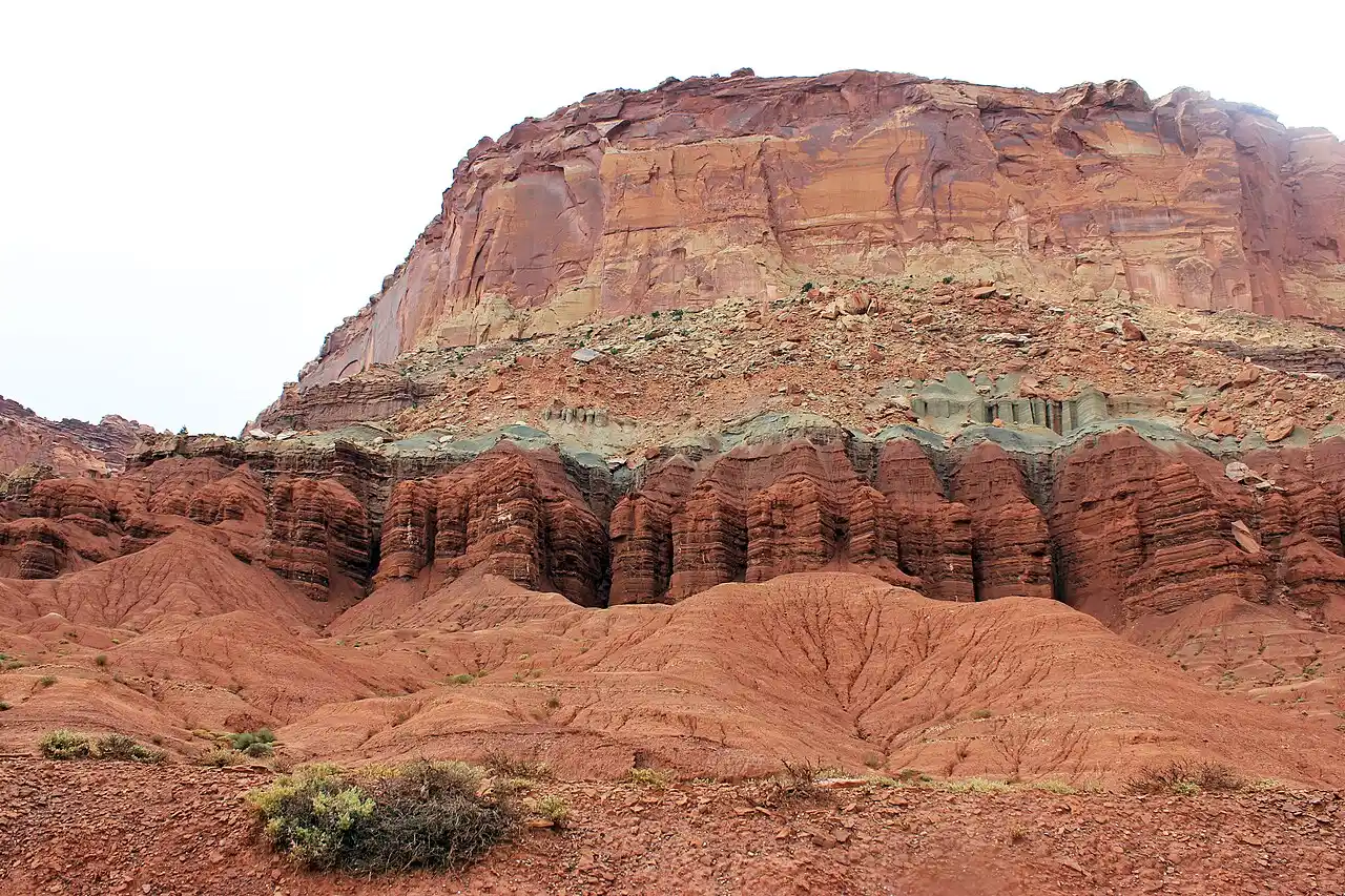
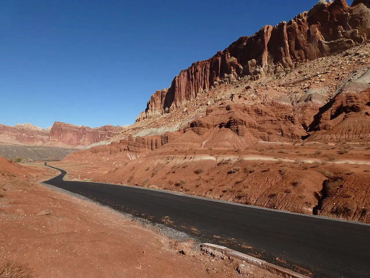
Rain changes the math fast: Scenic Drive, Grand Wash and Capitol Gorge all close for snow, ice, mud or flash flooding. Stage II fire restrictions went on at both parks in late June 2026 and carry no end date - the wording is “until further notice,” which means campfires and charcoal stay out until the parks say otherwise, propane and liquid-fuel stoves stay in, and nobody can tell you in advance which category your trip falls into. Two other live items: the Fremont River has carried elevated E. coli since the end of June (don’t swim, don’t get the water in your mouth), and the Scenic Drive closes to cars - open to bikes and walkers - from sunrise to 3 p.m. on September 19 and 26 for Reef Ride Bike Days. Neither is a reason to skip the park. Pull up the park’s own current-conditions page the morning you leave; alerts here get added and dropped by the week, faster than any guide can track.
Fruita’s orchards: free to walk, priced to take home
The Fruita Historic District is the strangest thing about Capitol Reef: about 1,900 fruit trees, planted by the Mormon pioneers who settled Fruita in 1880, still maintained by the park service today. You can walk into any unlocked orchard and eat ripe fruit off the tree for free - that’s the park’s quirkiest perk. Taking fruit home means finding the self-pay station - a scale, plastic bags, and posted prices near the entrance of whichever orchards are open that week.
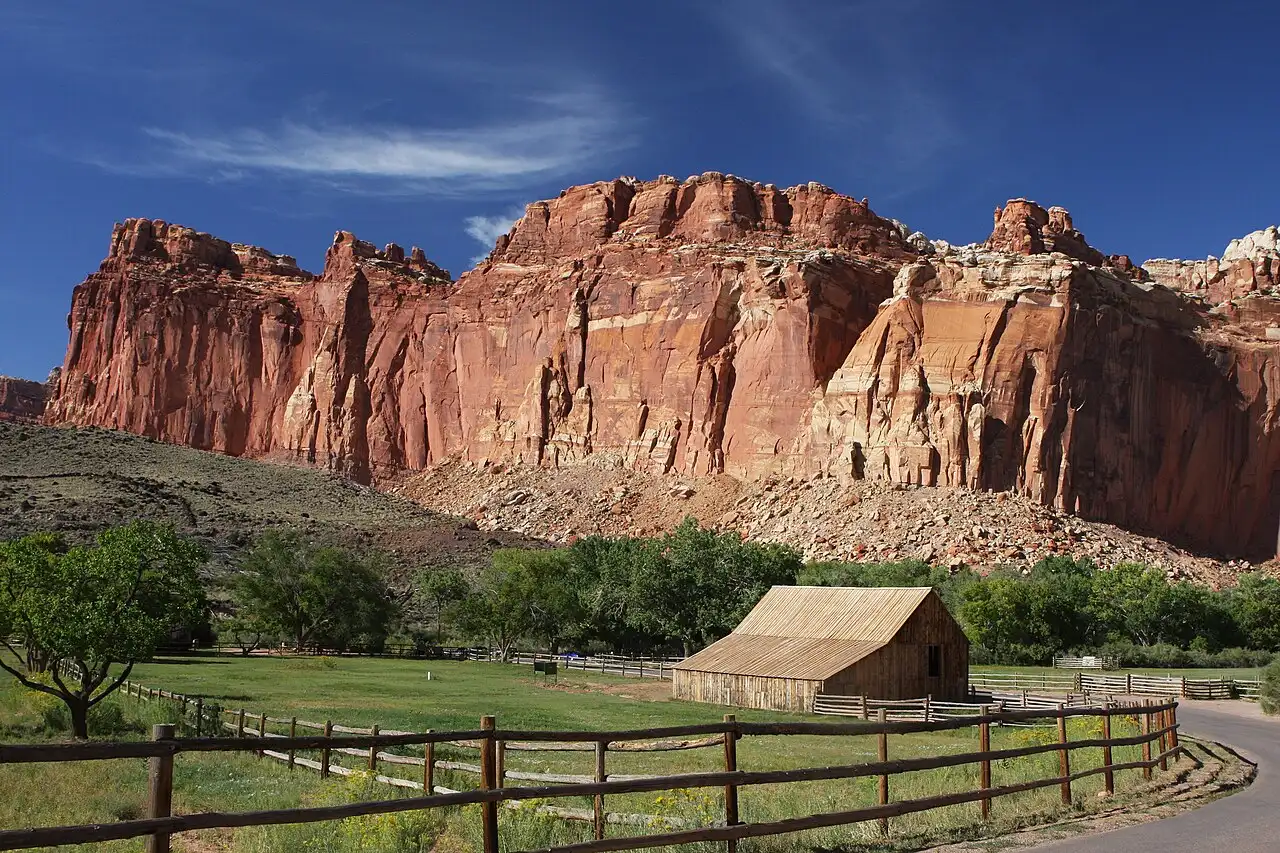
Late August through September usually means peaches, pears and the start of the apple harvest, but which orchard is actually posted “open” changes week to week depending on the crop - you’ll want to call the visitor center before you drive in expecting a specific fruit. The Gifford House, a restored 1908 farmhouse near the campground, sells pie and sundries daily from mid-March through late November.
Hickman Bridge, Capitol Gorge, and the rest on foot
Hickman Bridge ranks among the park’s most popular trails: a 133-foot natural sandstone bridge reachable in under two hours round trip on a moderate, 0.9-mile-each-way path from a trailhead just off Highway 24. Capitol Gorge, the unpaved spur off the Scenic Drive itself, leads to the Pioneer Register - names, dates and one bullet hole worked into the canyon wall by prospectors, surveyors, cowboys and settlers passing through between 1871 and 1946 - and to natural water pockets (locals call them “tanks”) a little further on. Don’t confuse the free Hickman trailhead with the fee-road gorge. The gorge itself is named the same way the park is: for the pale, dome-shaped sandstone nearby that looks like a capitol building. The water pockets lend their name to something bigger, the 100-mile Waterpocket Fold that the whole park sits on.
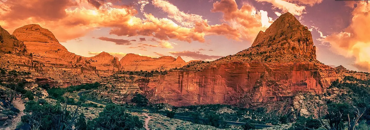
One of those two is free and the other isn’t, and it’s easy to get backwards. Hickman Bridge is free: the trailhead sits on Highway 24, outside the fee area altogether, so you can walk it without paying anything. Capitol Gorge isn’t - that spur leaves the Scenic Drive well past the self-pay station, which means reaching the trailhead already cost you the $20.
Getting between the two and where to sleep
There’s no shortcut between Canyonlands and Capitol Reef. The paved way around is US-191 north out of Moab, I-70 west to exit 149, then SR-24 west through Hanksville to Torrey - about 156 miles with nothing in between but Hanksville’s gas pumps, and a half-day once you add fuel and lunch. Put a park at each end and it’s a full driving day. Moab has the rental counters, the restaurants and the crowds; Torrey, just outside Capitol Reef, has neither the counters nor the crowds, which is exactly the trade-off between the two parks in miniature. Book Torrey early if your dates land in peak season - it has far fewer rooms than Moab and they go first.
If Bryce Canyon or Zion are also on the itinerary, SR-12 connects Torrey to Bryce in about three hours, crossing a 9,600-foot summit on Boulder Mountain that turns unpleasant in winter weather. Ignore any GPS suggestion of “South Draw Road” as a shortcut - it’s unmaintained 4WD track meant for high-clearance vehicles, and a rental sedan has no business on it.
Two days or four: what to cut
Two days: one full day at Island in the Sky out of Moab, one full day at Capitol Reef’s Scenic Drive and Fruita out of Torrey. Skip the Needles and the Maze entirely - both deserve their own dedicated trip on another visit.
Four days: add a half-day for the Needles if you’re already at Moab, and a half-day for Hickman Bridge or Capitol Gorge beyond the drive-through version. The Maze still doesn’t fit unless it’s the whole point of the week.
If you’re choosing one over the other because time is genuinely short, choose Island in the Sky. It shares a highway with Arches, which isn’t the same thing as sharing a parking lot. Arches is five miles north of Moab on US-191; Island in the Sky is ten miles north on that same road, then a 22-mile turn onto UT-313, about 40 minutes from town. So it’s a real add-on, not a freebie in disguise - just the cheapest second park in Utah in driving terms. Half a day up there covers more of what makes canyon country look the way it does in photographs than half a day almost anywhere else in the state. Capitol Reef pulls you further off that loop - worth the detour in its own right, but a detour all the same when the clock is what’s actually short.
On the map
The map loads on click - to keep the page lightweight.
The map didn’t load. Check your connection and refresh the page.
Admission and opening hours
- Admission price
- Canyonlands: private vehicle $30 for 7 days, motorcycle $25, per person on foot or bicycle (16+) $15. Capitol Reef: private vehicle $20 for 7 days, motorcycle $15, per person $10. Southeast Utah annual pass $55 covers Arches, Canyonlands, Natural Bridges and Hovenweep (US residents only). Capitol Reef annual pass $35. Neither park charges the $100 nonresident surcharge that applies at 11 other national parks.
- Opening hours
- Both parks are open year-round, 24 hours. Canyonlands does not require a timed-entry reservation. Capitol Reef Scenic Drive can close for snow, ice, mud or flash flooding; check conditions before you drive it.
Grand View Point Overlook, its trail and 0.3 miles of park road closed 6 a.m. Monday to 4 p.m. Thursday for a parking-lot rebuild starting July 27, 2026, reopening each Thursday afternoon through the weekend. The NPS construction page (updated August 31, 2026) ends that window on August 27, 2026, while the live park alert still shows an October 1, 2026 end date - check the construction page before a weekday visit. During a closure, vehicles must turn around at Orange Cliffs Overlook and buses and long trailers should not go past Green River Overlook. The final phase of the rebuild is scheduled for July-September 2027. Hans Flat Ranger Station in the Maze closed temporarily in late August 2026 for a search operation, with no reopening date announced; Maze trip questions go to canyres@nps.gov. Stage II fire restrictions at both parks run until further notice.
Details checked: August 29, 2026
Read also

National Parks · 8 min read
Indiana Dunes from Chicago: Beaches & the $25 Gate
Verified · August 26, 2026Leave Chicago early for West Beach, the Dune Succession Trail and the South Shore Line to Dune Park. National and state park fees do not cross.

National Parks · 8 min read
Carlsbad Caverns: Natural Entrance and Bat Flight
Verified · August 25, 2026$15 entry plus $1 timed reservation, Natural Entrance vs elevator, Big Room loop, and free bat flights April-Oct.

National Parks · 8 min read
White Sands: Dunes, Sledding and Closures
Verified · August 25, 2026Gypsum dunes, $25 entry, sledding tips, and why missile-range tests can close Dunes Drive for hours - check NPS the morning you go.

National Parks · 7 min read
Haleakala Sunrise: Reservations, Timing and What to Wear
Verified · August 24, 2026Book the $1 Haleakala sunrise reservation, time the dark drive to 10,023 feet, dress for freezing wind and plan what to do after the sun clears the crater.