
Pennsylvania Travel Guide
Philadelphia, Pittsburgh, Amish country, Gettysburg and the Poconos: what each one is for, how far apart they are and when to go.
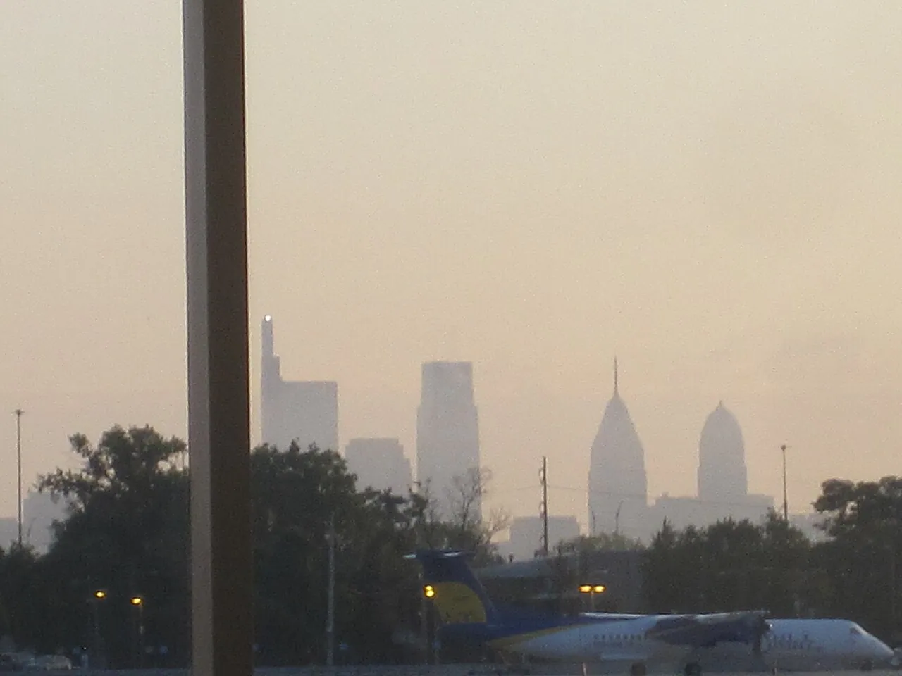
Pennsylvania gives you two very different cities 300 miles apart with a lot of farmland in between. Philadelphia is where the country was argued into existence and where you’ll eat best; Pittsburgh is a river city of bridges, hills and old steel money that most visitors underrate. In between sit Amish farm country, the Gettysburg battlefield and the Pocono Mountains, and outside the two downtowns you’ll want a car for all of it.
The distance is what trips people up. Philadelphia to Pittsburgh is roughly a five-hour drive on the Pennsylvania Turnpike, and Amtrak’s Pennsylvanian covers the same ground once a day in about seven and a half hours, because the mountain stretch west of Harrisburg is slow going. Pick one end of the state, add the countryside next to it, and fly home from where you landed. Trying to do both ends in four days means you’ll mostly see the Turnpike.
Philadelphia: history you can walk, and the food
Our full Philadelphia travel guide covers the free morning open house at Independence Hall, the Reading Terminal Sunday trap and where to actually eat, in more depth than fits here. For Center City versus Old City versus Fishtown, use where to stay in Philadelphia.
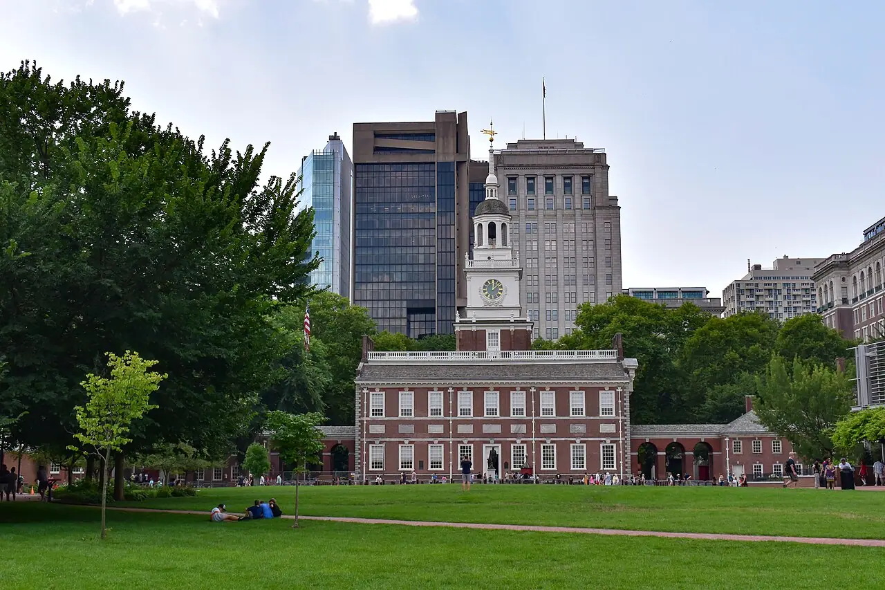
The historic core is compact enough to cross on foot in fifteen minutes, which is why it works even on a short trip. Independence Hall is free to enter, and the tour between 10 a.m. and 4 p.m. needs a timed ticket booked through Recreation.gov with a $1 handling fee per ticket. There is also a ticket-free open house from 9 a.m. to 9:50 a.m., which is the way in if the day is sold out. Reservations open 30 days out. Your America the Beautiful pass won’t cover the fee, and in 2026, the 250th anniversary year, the sensible move is to book the moment the window opens rather than gamble on same-day releases.
The Liberty Bell, three minutes away, works the opposite way: no tickets, first come first served, 9 a.m. to 5 p.m. daily. Go early or at the tail end of the afternoon and the line is short. One thing worth catching while you’re on the square: the First Bank of the United States reopened to the public on July 1, 2026 after a long restoration, with exhibits built together with the State Department and Drexel University. It’s the newest thing in the oldest part of the city.
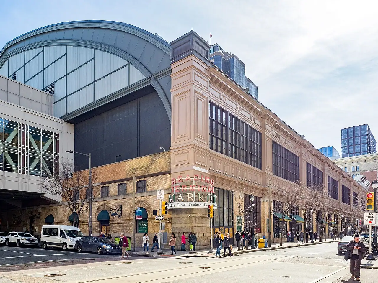
Then there’s the eating, which is the reason a lot of people now come. Food & Wine put Philadelphia in its top 10 U.S. cities for food and drink, and the city’s reputation rests less on the cheesesteak than on a deep bench of small restaurants, many of them BYOB. The cheesesteak argument between Pat’s and Geno’s is a tourist ritual; ask anyone who lives here and you’ll get a third name entirely, usually a corner place in South Philly or Fishtown. Reading Terminal Market, in a National Historic Landmark building it has occupied since 1893 and open daily 8 a.m. to 6 p.m., is the single best hour of eating in the state: Pennsylvania Dutch stands, roast pork sandwiches, oyster bars and ice cream under one roof.
Lancaster County: how to visit Amish country properly
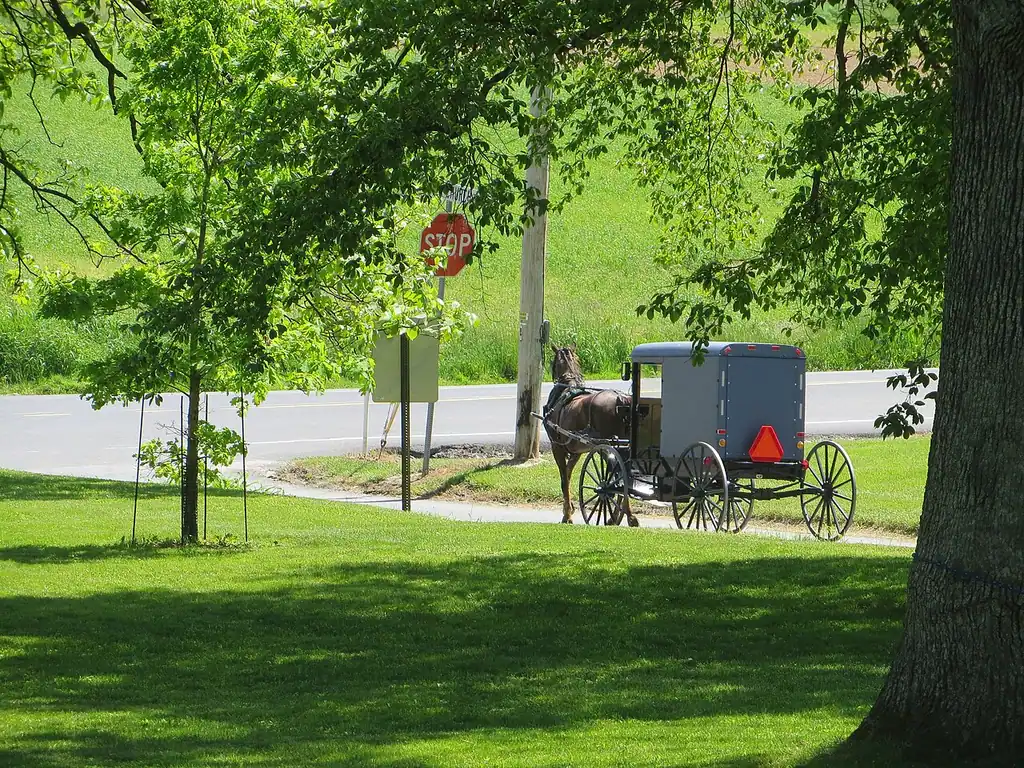
An hour and a half west of Philadelphia, the farmland around Lancaster holds the largest Amish settlement in North America, put at close to 45,000 people across 267 church districts by researchers at Elizabethtown College. That number matters because it changes what you’re looking at. This isn’t a heritage park with costumed staff. It’s a working community of families who farm, run shops and drive buggies on public roads, and you’re a guest on their commute.
The county’s own tourism board is blunt about the etiquette, and it’s worth following. Discover Lancaster asks visitors to take no photographs in which faces are recognizable, because the Amish read recognizable images as a conflict with their beliefs. Don’t slow the car to a crawl beside someone working a field, don’t walk up private lanes, and don’t plan a Sunday around shopping, since most Amish-run businesses close. What you can do is spend money where the door is open: farm stands, quilt shops, furniture makers, bakeries and market houses exist precisely for outside customers, and buying a pie from someone who baked it beats photographing them from the shoulder of Route 340.
Gettysburg: free ground, paid context
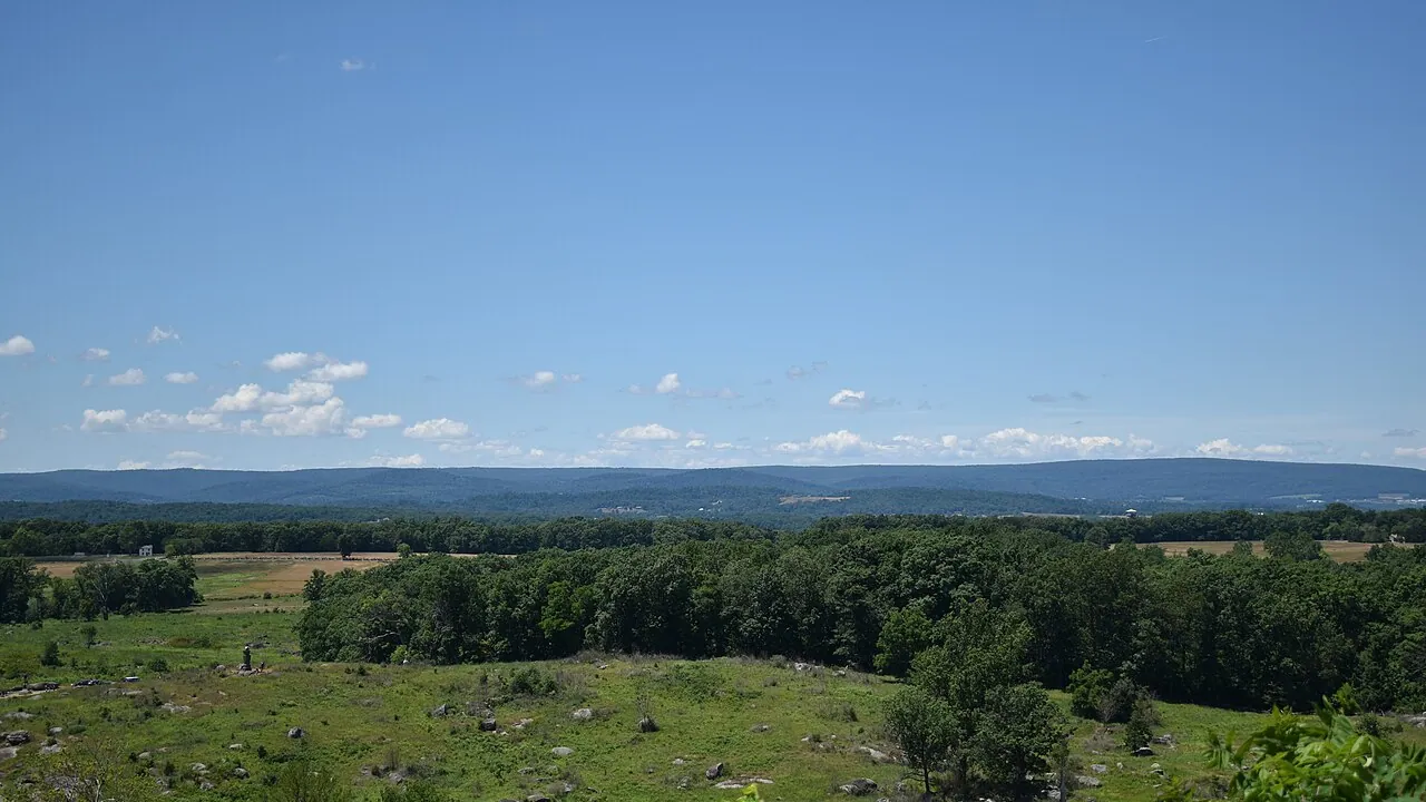
The battlefield itself costs nothing and is open from half an hour before sunrise to half an hour after sunset, which is how most people do it: drive the auto tour, stop at Little Round Top, walk out to the High Water Mark. The paid part is at the Museum & Visitor Center, where $20.75 for adults gets you the film, the restored 1880s Cyclorama painting and the museum. Go there first, not last; the ground makes sense afterward in a way it doesn’t before.
The upgrade that’s genuinely worth the money is a Licensed Battlefield Guide riding in your own car: $82 for two hours or $117 for three, for up to six people. Split between three or four of you, that beats the $40-a-head bus tour and you get to ask your own questions. These are hard-earned licenses, and a good guide will reroute the whole two hours around whatever you’re actually curious about.
Pittsburgh, and why the incline is not a gimmick
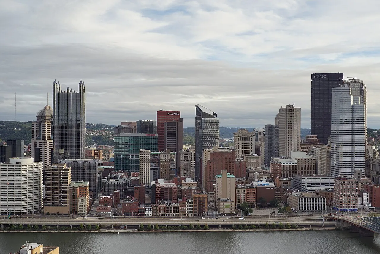
Pittsburgh sits where three rivers meet, which gave it steel, bridges and a downtown wedged into a triangle. Ride the Duquesne Incline up Mount Washington and the whole geography snaps into place in two minutes. It’s been running since May 20, 1877, it operates 365 days a year (5:30 a.m. to 12:30 a.m. Monday through Saturday, from 7 a.m. Sundays and holidays), and it still takes exact cash or a ConnectCard at the door - no app, no advance ticket, so keep small bills. The view from the upper platform at dusk is the photo everyone comes home with.
Downhill on the North Shore, the Andy Warhol Museum holds seven floors of a Pittsburgh-born artist and is, by Carnegie Museums’ own description, the largest museum in North America devoted to a single artist. Check the day before you go: it’s closed Tuesdays, and Friday is the late night, open to 8 p.m.
The Poconos and the Delaware Water Gap
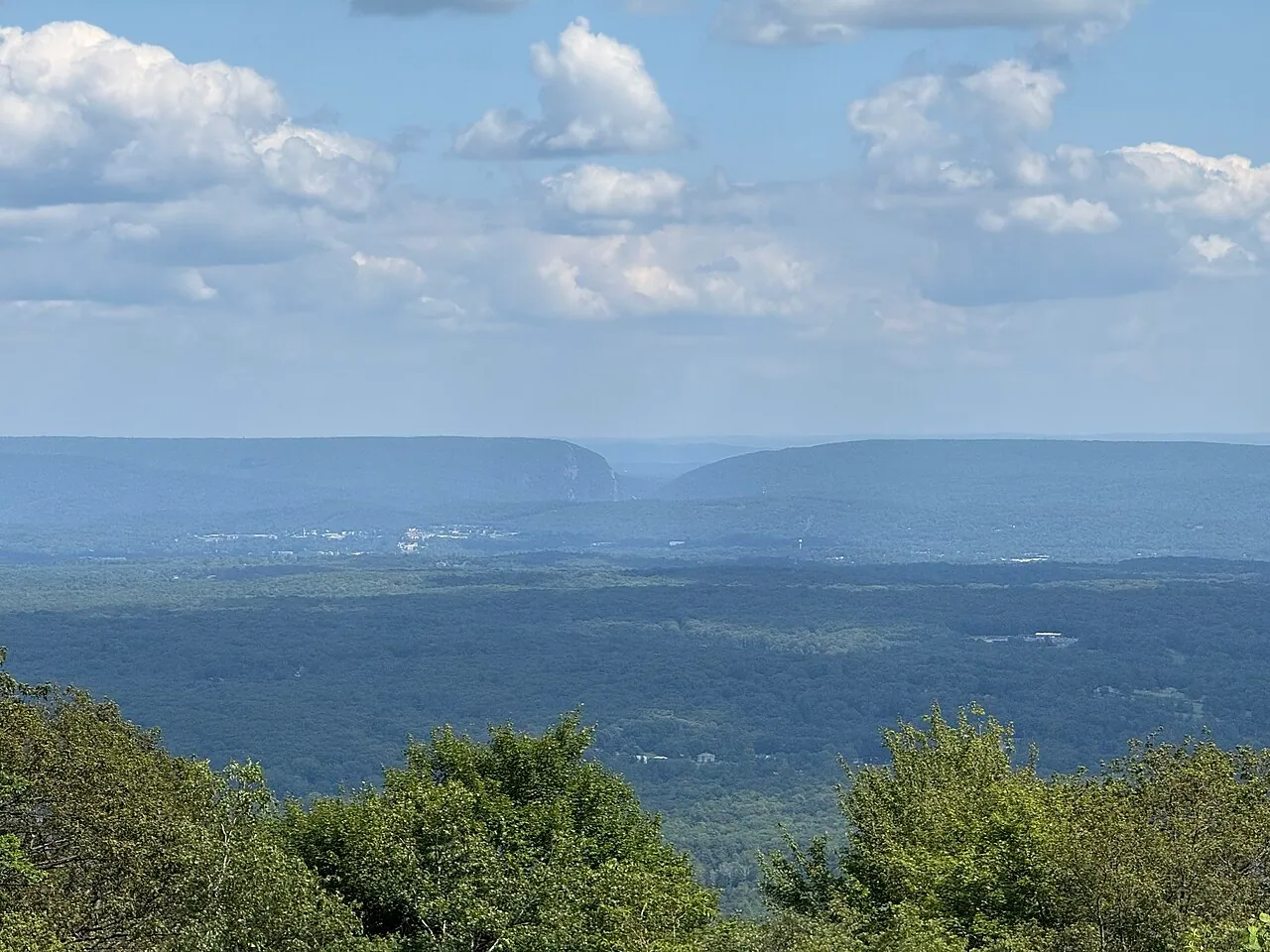
The Poconos are the northeast corner: lakes, ski hills, resort towns and, along the state line, Delaware Water Gap National Recreation Area, which protects about 40 miles of the Delaware River across Pennsylvania and New Jersey. The Appalachian Trail runs through it, there are waterfalls and swim beaches, and it’s all free to walk into. This is weekend country for two big cities, so Friday-to-Sunday is when rates climb and the roads back up; midweek in the Poconos is a different, quieter, cheaper place.
Across the state line, the mountains continue in our West Virginia guide.
Getting around, and what it costs
Central Philadelphia and downtown Pittsburgh both work without a car, and parking in either one is an expense you don’t need. Everywhere else in this guide - Lancaster, Gettysburg, the Poconos - assumes you’re driving. The practical detail is tolling: the Pennsylvania Turnpike bills electronically, and its own toll calculator is built around how much you save with an E-ZPass, so a plate-based bill in the mail costs you more. Rental companies will sell you their own toll package with a daily fee attached, so compare rental rates and toll policies before you accept the counter’s offer.
If you’d rather not drive at all, the train covers the spine. Amtrak’s Keystone Service runs 13 weekday round trips between Philadelphia and Harrisburg, and the daily Pennsylvanian continues west to Pittsburgh and east to New York, which puts Pennsylvania on the same corridor as New York City and the rest of New York State without a rental at either end.
When to go
Fall is the season here, and it’s not close. Color moves down from the northern tier through the Poconos and the Laurel Highlands from late September into the third week of October, the humidity has broken, and Lancaster’s farm stands are at their best. Summer is warm and busy, with Philadelphia sticky in July and August and the lake resorts full. Winter belongs to the Pocono ski hills and to Philadelphia’s museums, when the historic sites are close to empty. Spring is unglamorous but cheap, and the battlefield in April, green and quiet, is one of the better trades in American travel.
If you have one week, do Philadelphia and its countryside: three days in the city, one in Lancaster, one at Gettysburg. If you have ten days, add the drive west and give Pittsburgh two nights. And if you’re deciding between this and a state with a headline national park, look at what else is on the map first - Pennsylvania’s pull is history, food and hill country rather than scenery you can name from a poster.
Read also
- Just up the corridor: New York State travel guide and things to do in New York City
- West on the Turnpike and past Pittsburgh: Ohio picks up its own Amish Country story around Holmes County, plus the Rock and Roll Hall of Fame in Cleveland
- Another walkable colonial city with a serious food scene: things to do in Charleston
- South toward the Chesapeake: Maryland covers Baltimore, Annapolis and Assateague
- Browse more US states and US cities
On the map
The map loads on click - to keep the page lightweight.
The map didn’t load. Check your connection and refresh the page.
Read also

States · 11 min read
Connecticut: Mystic, New Haven and the Shoreline
Verified · September 12, 2026Mystic Seaport at $35 adult, free Yale galleries in New Haven, and Gillette Castle on the river - how a Connecticut weekend actually fits.

States · 9 min read
North Dakota: Medora and Theodore Roosevelt NP
Verified · September 5, 2026The 36-mile South Unit loop starts in Medora, entrance $30 per vehicle, cashless from May 2026 - how to plan Theodore Roosevelt National Park.

States · 9 min read
Arkansas Travel Guide: Hot Springs & Ozarks
Verified · September 4, 2026Fee-free Hot Springs NP downtown, free Crystal Bridges in Bentonville, and the 135-mile Buffalo - how to string an Arkansas road trip.

States · 10 min read
Indiana Travel Guide: Indy, Speedway, Shore
Verified · September 5, 2026IMS Museum at $25, Kiss the Bricks at $15, Brown County hills and Lake Michigan shore - an Indiana trip beyond a Chicago beach day.