
Shenandoah National Park: Skyline Drive Overlooks
Skyline Drive is 105 miles and free once you pay the $30 gate fee. Old Rag needs a $2 ticket. Where to actually stop, district by district.
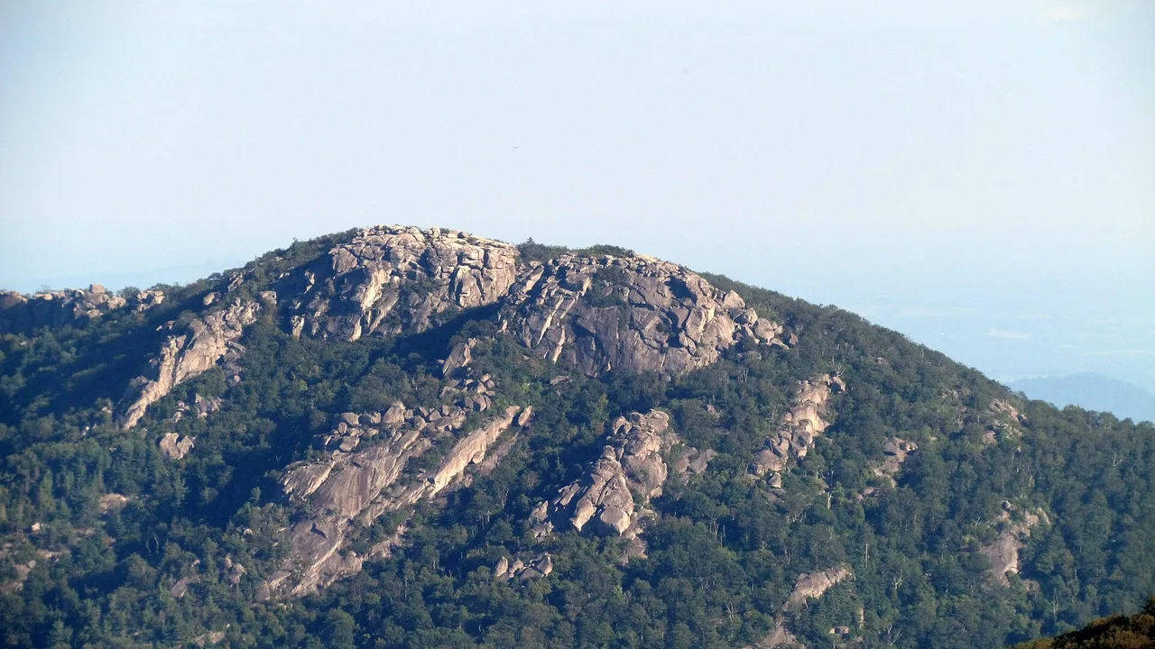
Skyline Drive is 105 miles of Blue Ridge crest, and getting onto it costs $30 for your car for a week, not per stop. The overlooks are free once you’re through the gate. The one thing that actually needs a separate reservation is Old Rag, and its trailhead has had its main parking lot shut for construction since May, which changes the plan for anyone who hasn’t checked in a while.
Most first-timers drive the whole road once, stop at whatever looks good, and leave without knowing Hawksbill was the highest point they passed or that the waterfall everyone photographs is a fifteen-minute walk from a parking lot most people drive right past. Here’s what’s actually worth the brake lights, organized by where you’ll find it.
Skyline Drive: the road itself
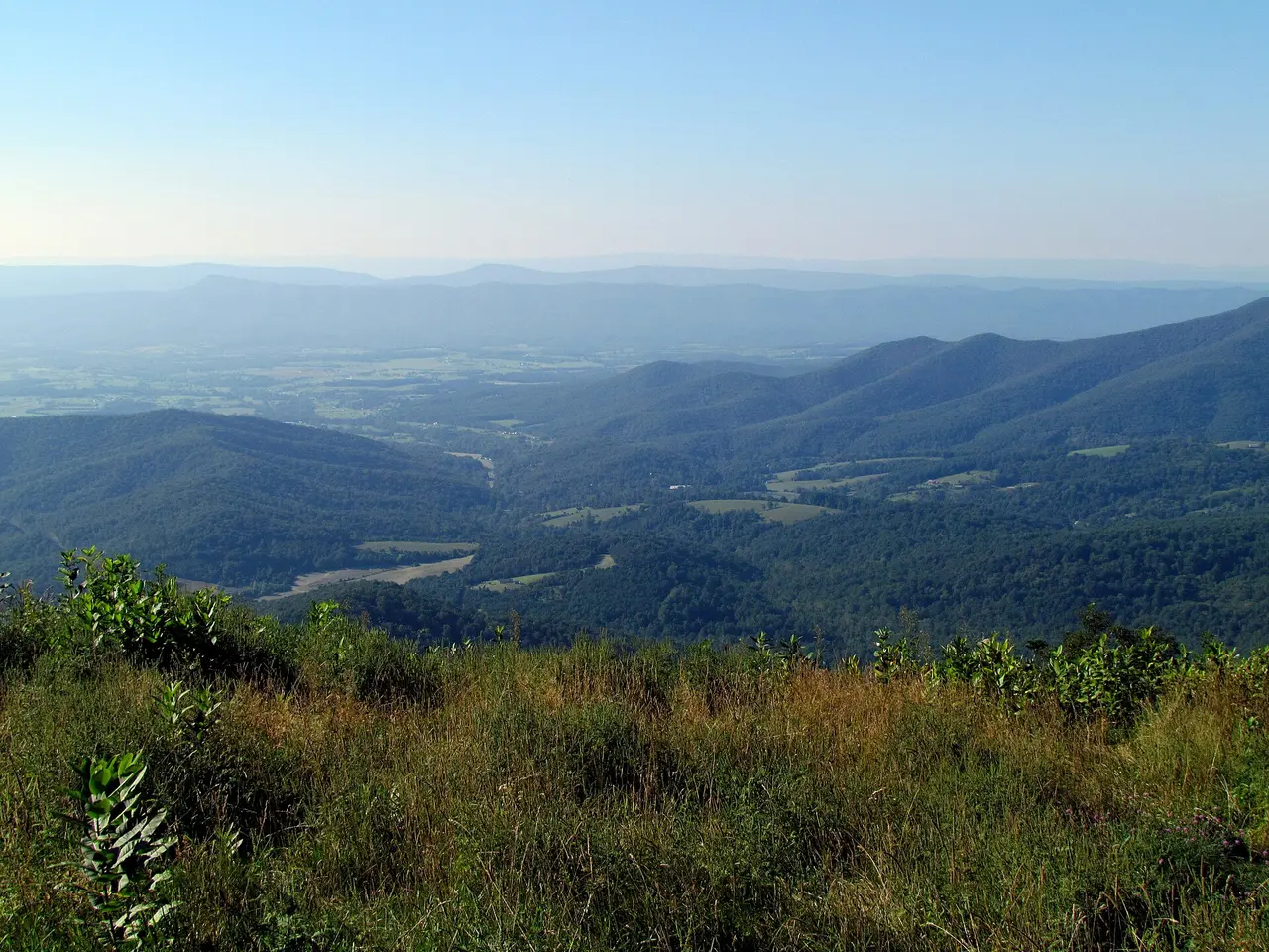
The drive runs from Front Royal at mile 0 to Rockfish Gap at mile 104.6, with two more entrance stations in between at Thornton Gap (mile 31.5) and Swift Run Gap (mile 65.5). NPS puts the full length at about three hours on a clear day if you don’t stop, which nobody does. The road is generally open around the clock, but it closes at short notice for fog, ice or snow, and there’s no warning system beyond the park’s own alerts page, so check before a night drive in shoulder season.
There’s no fixed count of overlooks published by the park, whatever a blog post tells you. What matters more than a number is that they’re spaced closely enough, especially between Thornton Gap and Big Meadows, that you can drive slowly and just pull off when the view earns it instead of chasing a checklist.
What it costs, and why there’s no cash box
A seven-day vehicle pass is $30, a motorcycle is $25, and walking or biking in costs $15 a person. An annual pass is $55, which pays for itself in two visits. None of that is negotiable at the gate in cash, because the park stopped taking it: every station is card or contactless only now. If you’re chaining this with other parks on a Southwest-to-Rockies trip later in the year, that’s the moment to weigh an America the Beautiful pass instead, but for a single Shenandoah visit the standard pass is the cheaper call.
Old Rag needs a ticket you buy before you leave home
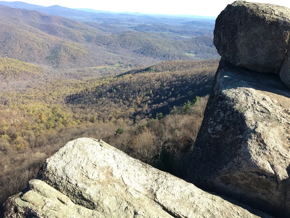
Old Rag is the hike everyone’s heard of, the one with the rock scramble near the summit, and it runs on its own rules. Between March 1 and November 30 you need a $2 day-use ticket for the Ridge, Saddle and Ridge Access trails, sold only through recreation.gov in advance, not at the gate. Eight hundred go out each day, four hundred released a month ahead and four hundred more five days out, so if you’re planning a specific date it’s worth grabbing yours as soon as the window opens rather than hoping something’s left the week of.
The complication that didn’t exist a couple of years ago: the main parking lot at the Old Rag trailhead has been closed to all vehicles and pedestrians since May 4, 2026, while NPS rebuilds it, and the work is expected to run into November. You can still get there through the existing overflow lots, but a valid ticket doesn’t guarantee you a space, and NPS is blunt about that on its own FAQ page. If the scramble itself isn’t the point, there’s a real workaround most guides skip: park at Berry Hollow instead and hike up the Saddle Trail to the summit and back, a longer but far less technical 5.4 miles that avoids the Ridge Trail’s rock scramble entirely. Berry Hollow parking is tiny, though, and NPS notes cars blocking the gate get towed.
Bring your own water. NPS says plainly that none is sold or available anywhere on the mountain, and that’s easy to forget when the parking lot has a contact station that looks like it might sell something.
The best overlooks, district by district
North District (Front Royal to Thornton Gap, miles 0-31.5). The quietest stretch, and the Compton Gap area around mile 10.4 is worth the stop even if you’re only doing one North District hike. Compton Peak’s east viewpoint has a genuinely unusual payoff: columnar basalt jointing, hexagonal rock columns you’d expect in Iceland more than Virginia, visible from a short scramble below the overlook. Fort Windham Rocks, a quick 0.8-mile walk, is a pair of split greenstone boulders rising 50 feet, some of the oldest rock in the park.
Central District (Thornton Gap to Swift Run Gap, miles 31.5-65.5). This is where most people spend their day, and it earns it. Hawksbill, at 4,051 feet, is the highest point in the park, reachable by a 1.7-mile round trip from the Hawksbill Gap lot at mile 45.5 - moderate, not epic, with a 690-foot climb to a viewing platform that on a clear day shows you most of the Shenandoah Valley. The trailhead map also names three overlooks worth a slower pass along the road here: Spitler Knoll, Old Rag View (which does what it says) and Crescent Rock.
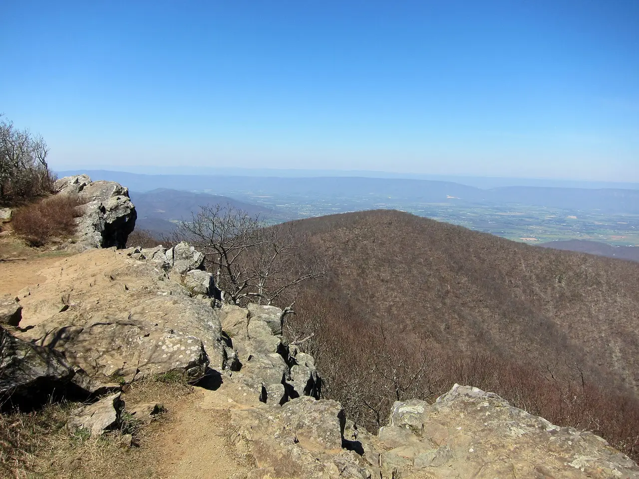
A few miles north, Stony Man is the second-highest point and the easier win: 1.6 miles round trip, a 340-foot climb, done in about an hour, to a cliff-edge view that a lot of visitors rate above Hawksbill’s for the sense of exposure. If you only have time for one short hike in the park, this is the one people regret skipping. Little Stony Man, a shorter spur nearby, gets you a real cliff view for well under an hour of walking, and Millers Head, at the site of an old fire tower, is a rockier out-and-back that most day-trippers never find.
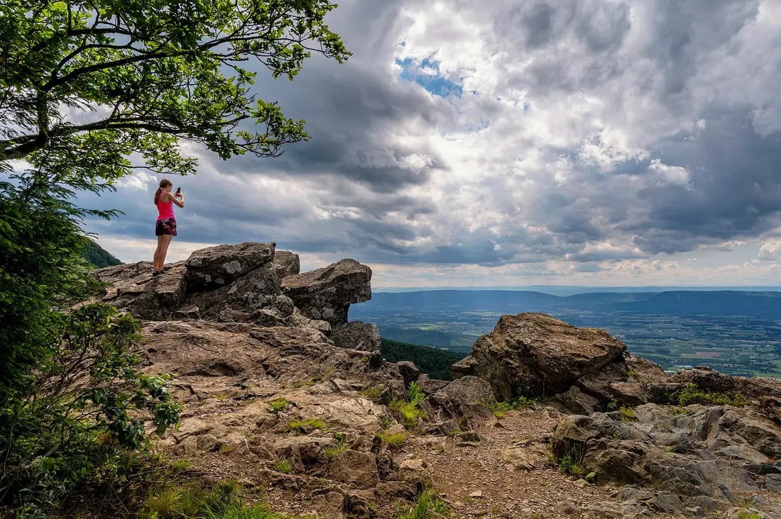
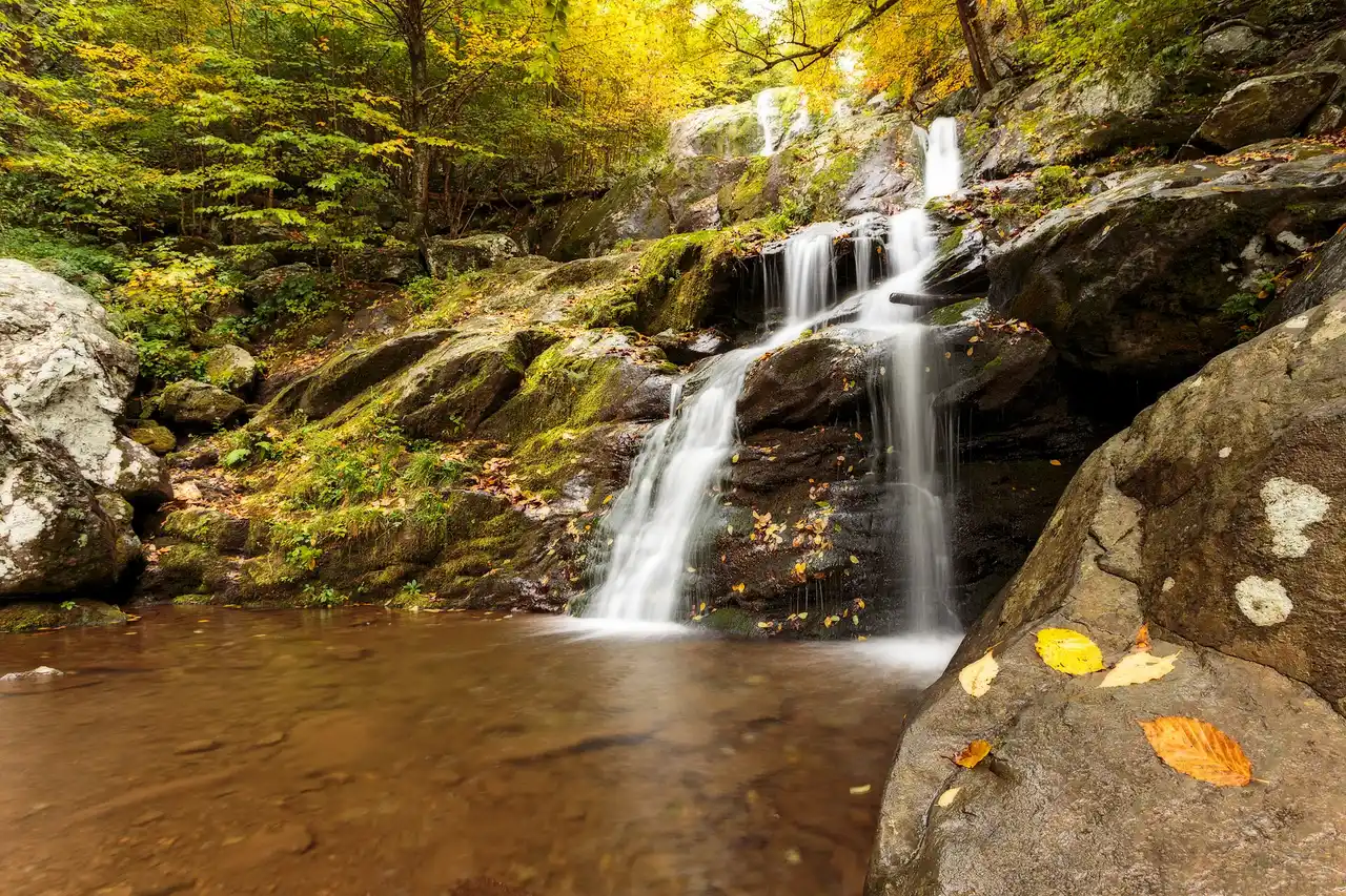
Further south, Big Meadows (mile 51.2) is less a hike than a place to just stand in an open bald and watch deer graze at dusk, and it’s the trailhead for the park’s signature short waterfall: Dark Hollow Falls, a 70-foot drop reached by a steep 1.4-mile round trip that NPS itself warns is short but rough on the way back up. If the parking area looks packed, Rose River Falls and Lewis Falls sit nearby and see noticeably fewer visitors for roughly the same reward. Fishers Gap and Tanners Ridge, the two named overlooks in this stretch, are easy add-ons if you’re already parked at Big Meadows.

South District (Swift Run Gap to Rockfish Gap, miles 65.5-105). The longest and least crowded stretch, with Loft Mountain (mile 79.5) as the main hub for camping and a wayside. It doesn’t have the same density of named overlooks as the middle of the park, and that’s exactly its appeal if Big Meadows already felt busy.
When the road actually closes
Skyline Drive itself rarely shuts for the whole season, but the services along it absolutely do. For 2026, Skyland runs March 30 through November 8, Big Meadows Lodge opens May 4 and closes November 29, and Loft Mountain Wayside works April 17 through November 8. Show up in January expecting a hot meal at any of them and you’ll be eating from your car. Winter storms can close sections of the drive for days at a time with no fixed reopening date, so if you’re planning a cold-weather trip, build in a backup day and check the park’s road status page the morning you leave, not the night before.
Getting here matters as much as what you do once you arrive: Virginia’s full state guide covers the drive in from Washington, the Historic Triangle and the coast, and Washington, DC is the closest major airport hub if you’re flying in for a long weekend in the mountains rather than driving the whole state.
On the map
The map loads on click - to keep the page lightweight.
The map didn’t load. Check your connection and refresh the page.
Admission and opening hours
- Admission price
- Standard entrance pass $15-$30: private vehicle $30 for seven days, motorcycle $25, per person on foot or bike (16+) $15. Annual park pass $55. Park is cashless, card only. Old Rag day-use ticket, on top of the entrance pass: $2.00, required March 1 through November 30 for the Ridge, Saddle and Ridge Access trails, sold only on recreation.gov in advance.
- Opening hours
- Skyline Drive is generally open 24/7 year-round, though weather closes sections without notice. 2026 seasonal dates: Skyland (miles 41.7/42.5) March 30-November 8; Big Meadows Lodge (mile 51.2) May 4-November 29; Big Meadows Wayside March 25-November 29; Loft Mountain Wayside (mile 79.5) April 17-November 8.
The Old Rag Trailhead main parking lot is closed to all vehicle and pedestrian traffic while NPS rebuilds it, expected to run into November 2026; use the existing overflow lots and do not count on a spot even with a valid ticket. Check nps.gov/shen before you drive out, especially in winter.
Details checked: August 19, 2026
Read also

National Parks · 12 min read
Canyonlands and Capitol Reef: Utah's Two Quiet Parks
Verified · August 29, 2026Canyonlands $30, Capitol Reef $20 for the Scenic Drive - what each park costs, which district to skip, and which one wins if you only have a day.

National Parks · 8 min read
Indiana Dunes from Chicago: Beaches & the $25 Gate
Verified · August 26, 2026Leave Chicago early for West Beach, the Dune Succession Trail and the South Shore Line to Dune Park. National and state park fees do not cross.

National Parks · 8 min read
Carlsbad Caverns: Natural Entrance and Bat Flight
Verified · August 25, 2026$15 entry plus $1 timed reservation, Natural Entrance vs elevator, Big Room loop, and free bat flights April-Oct.

National Parks · 8 min read
White Sands: Dunes, Sledding and Closures
Verified · August 25, 2026Gypsum dunes, $25 entry, sledding tips, and why missile-range tests can close Dunes Drive for hours - check NPS the morning you go.